Approximate Location Map
Large Map »
Latitude: 52.6293 / 52°37'45"N
Longitude: 1.2896 / 1°17'22"E
OS Eastings: 622722
OS Northings: 308591
OS Grid: TG227085
Mapcode National: GBR W8C.NT
Mapcode Global: WHMTM.S58L
Plus Code: 9F43J7HQ+PR
Entry Name: 39, St Giles Street
Listing Date: 26 February 1954
Grade: II
Source: Historic England
Source ID: 1290651
English Heritage Legacy ID: 229531
ID on this website: 101290651
Location: Chapelfield Grove, Norwich, Norfolk, NR2
County: Norfolk
District: Norwich
Electoral Ward/Division: Mancroft
Parish: Non Civil Parish
Built-Up Area: Norwich
Traditional County: Norfolk
Lieutenancy Area (Ceremonial County): Norfolk
Church of England Parish: Norwich St Giles
Church of England Diocese: Norwich
Tagged with: Building
TG 2208 NE ST. GILES STREET
(north side)
15/757
26.2.54 No. 39
GV II
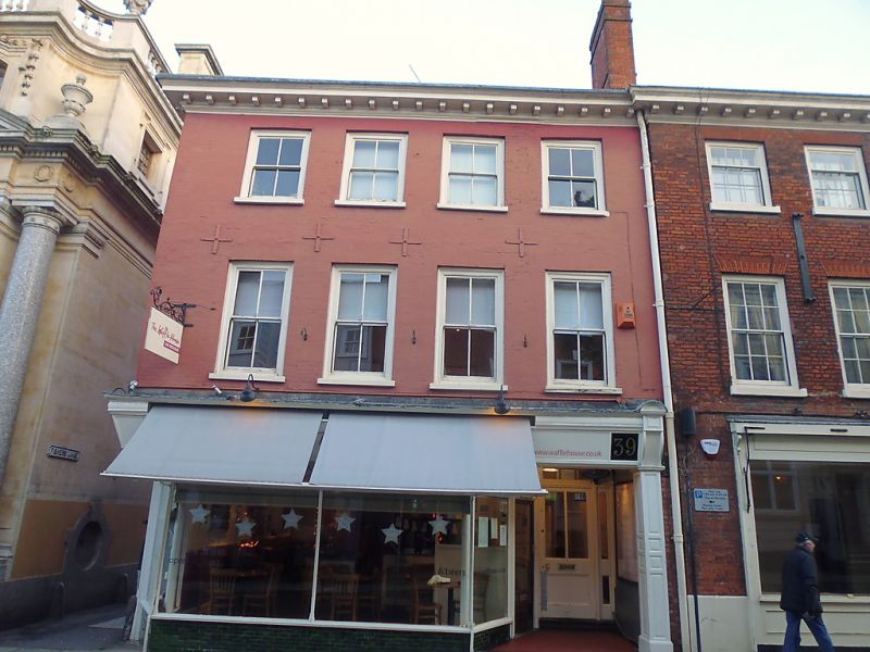
Former use unknown now restaurant. Early C19. Painted brick. Pantile roof.
3 storeys. 4 bays. Shopfront with recessed door at right and panelled
pilaster and fascia. Sash windows throughout. Bracket cornice.
Listing NGR: TG2272208591
External links are from the relevant listing authority and, where applicable, Wikidata. Wikidata IDs may be related buildings as well as this specific building. If you want to add or update a link, you will need to do so by editing the Wikidata entry.


Other nearby listed buildings
