Approximate Location Map
Large Map »
Latitude: 51.2807 / 51°16'50"N
Longitude: 1.077 / 1°4'37"E
OS Eastings: 614688
OS Northings: 158003
OS Grid: TR146580
Mapcode National: GBR TY2.P3N
Mapcode Global: VHLGM.M27K
Plus Code: 9F3373JG+7R
Entry Name: 45, St Peter's Street
Listing Date: 7 September 1973
Grade: II
Source: Historic England
Source ID: 1319844
English Heritage Legacy ID: 442973
ID on this website: 101319844
Location: Canterbury, Kent, CT1
County: Kent
District: Canterbury
Electoral Ward/Division: Westgate
Parish: Non Civil Parish
Built-Up Area: Canterbury
Traditional County: Kent
Lieutenancy Area (Ceremonial County): Kent
Tagged with: Building
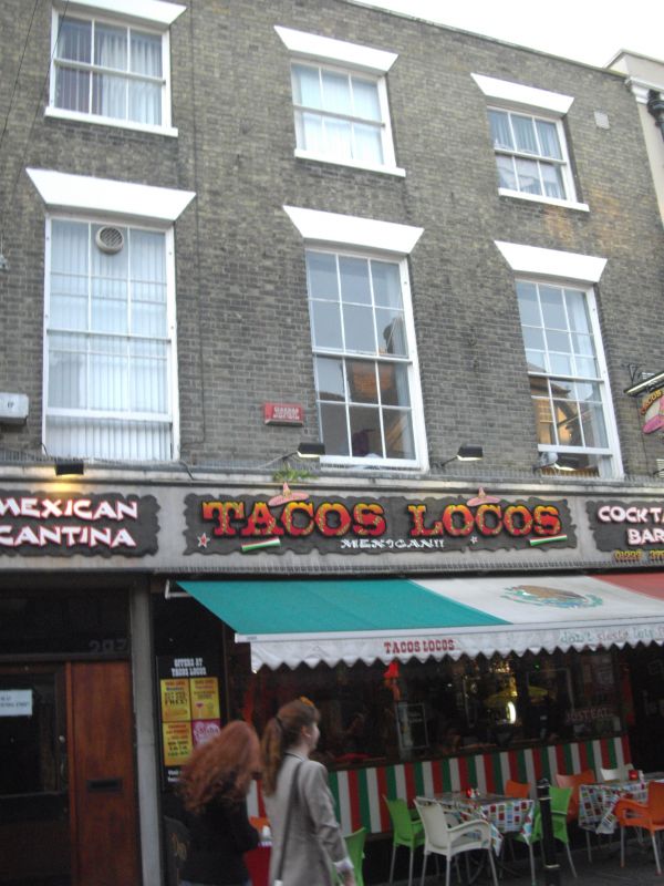
1.
944 ST PETER'S STREET
(South West Side)
No 45
TR 1458 SE 2/687
TR 1457 NE 4/687
II GV
2.
Early C19. 3 storeys buff brick. Stone parapet. 3 sashes with glazing bars
intact. Later shop front.
Nos 41 to 45 (consec) form a group.
Listing NGR: TR1468658001
External links are from the relevant listing authority and, where applicable, Wikidata. Wikidata IDs may be related buildings as well as this specific building. If you want to add or update a link, you will need to do so by editing the Wikidata entry.


Other nearby listed buildings
