Approximate Location Map
Large Map »
Latitude: 51.156 / 51°9'21"N
Longitude: 0.671 / 0°40'15"E
OS Eastings: 586882
OS Northings: 143029
OS Grid: TQ868430
Mapcode National: GBR QV3.GGN
Mapcode Global: VHJN2.L63N
Plus Code: 9F325M4C+9C
Entry Name: Bell Farmhouse
Listing Date: 10 October 1980
Grade: II
Source: Historic England
Source ID: 1326258
English Heritage Legacy ID: 181170
ID on this website: 101326258
Location: Smarden Bell, Ashford, Kent, TN27
County: Kent
District: Ashford
Civil Parish: Smarden
Traditional County: Kent
Lieutenancy Area (Ceremonial County): Kent
Tagged with: Farmhouse
1. ROAD
5272 SMARDEN BELL ROAD
Smarden Bell
TQ 84 SE 13/56 Bell Farmhouse
II
2.
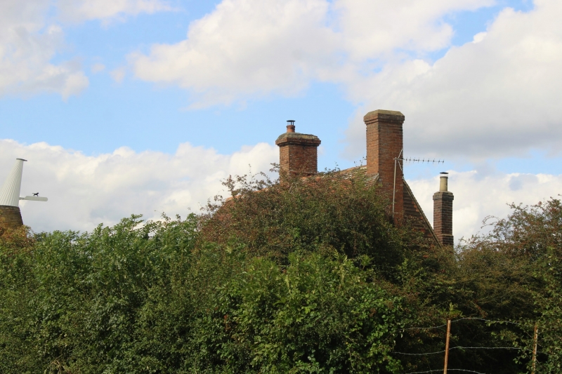
Probably a C17 or earlier timber-framed building. Two storeys. Ground floor
red brick, above hung with curved tiles. Tiled roof, hipped on one side.
Four casement windows, 2 small bays on ground floor. Modern porch.
Listing NGR: TQ8688243029
External links are from the relevant listing authority and, where applicable, Wikidata. Wikidata IDs may be related buildings as well as this specific building. If you want to add or update a link, you will need to do so by editing the Wikidata entry.


Other nearby listed buildings
