Approximate Location Map
Large Map »
Latitude: 50.684 / 50°41'2"N
Longitude: -3.4679 / 3°28'4"W
OS Eastings: 296396
OS Northings: 88175
OS Grid: SX963881
Mapcode National: GBR P2.JJZJ
Mapcode Global: FRA 37M8.GSS
Plus Code: 9C2RMGMJ+HR
Entry Name: Garden Wall of No 6
Listing Date: 18 June 1974
Grade: II
Source: Historic England
Source ID: 1333375
English Heritage Legacy ID: 89062
ID on this website: 101333375
Location: Topsham, Exeter, Devon, EX3
County: Devon
District: Exeter
Electoral Ward/Division: Topsham
Parish: Non Civil Parish
Built-Up Area: Topsham
Traditional County: Devon
Lieutenancy Area (Ceremonial County): Devon
Church of England Parish: Topsham St Margaret
Church of England Diocese: Exeter
Tagged with: Wall
FERRY ROAD
1.
1092
(East Side)
TOPSHAM
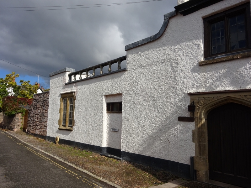
Garden Wall of No 6
SX 9687 8/809A
II
2.
Contemporary with house. Limestone wall on north.
Listing NGR: SX9639688175
External links are from the relevant listing authority and, where applicable, Wikidata. Wikidata IDs may be related buildings as well as this specific building. If you want to add or update a link, you will need to do so by editing the Wikidata entry.


Other nearby listed buildings
