Approximate Location Map
Large Map »
Latitude: 51.2732 / 51°16'23"N
Longitude: 0.5221 / 0°31'19"E
OS Eastings: 576021
OS Northings: 155690
OS Grid: TQ760556
Mapcode National: GBR PR7.0TW
Mapcode Global: VHJMF.08CB
Plus Code: 9F327GFC+7R
Entry Name: 86, BANK STREET (See details for further address information)
Listing Date: 30 July 1951
Grade: II
Source: Historic England
Source ID: 1336180
English Heritage Legacy ID: 173363
ID on this website: 101336180
Location: Maidstone, Kent, ME14
County: Kent
District: Maidstone
Electoral Ward/Division: High Street
Parish: Non Civil Parish
Built-Up Area: Maidstone
Traditional County: Kent
Lieutenancy Area (Ceremonial County): Kent
Tagged with: Building
HIGH STREET
1.
5278
BANK STREET
(South-East Side)
No 86
TQ 7655 NW 2/285 50.7.5l
II GV
2.
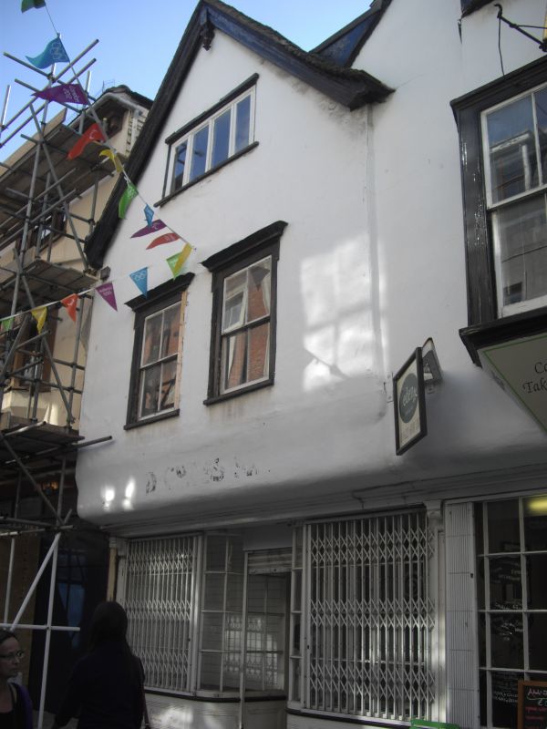
A timber-framed building refronted. 3 storeys stuccoed. Tiled roof. Gable
front having wooden bargeboard and pendant. The 2nd floor has a 4-light casement,
the lst floor has 2 sashes with verticals only. Later shopfront.
Nos 73 to 88 (consec) form a group.
Listing NGR: TQ7602455687
External links are from the relevant listing authority and, where applicable, Wikidata. Wikidata IDs may be related buildings as well as this specific building. If you want to add or update a link, you will need to do so by editing the Wikidata entry.


Other nearby listed buildings
