Approximate Location Map
Large Map »
Latitude: 52.3359 / 52°20'9"N
Longitude: -2.0717 / 2°4'18"W
OS Eastings: 395210
OS Northings: 270872
OS Grid: SO952708
Mapcode National: GBR 2FX.K1W
Mapcode Global: VH9ZL.1KM4
Plus Code: 9C4V8WPH+98
Entry Name: Entrance Gates and Gate Piers at Number 33
Listing Date: 1 November 1972
Grade: II
Source: Historic England
Source ID: 1348484
English Heritage Legacy ID: 155721
ID on this website: 101348484
Location: Red Cross, Bromsgrove, Worcestershire, B61
County: Worcestershire
District: Bromsgrove
Electoral Ward/Division: Sanders Park
Parish: Non Civil Parish
Built-Up Area: Bromsgrove
Traditional County: Worcestershire
Lieutenancy Area (Ceremonial County): Worcestershire
Church of England Parish: Bromsgrove
Church of England Diocese: Worcester
Tagged with: Gate
KIDDERMINSTER ROAD
1.
909
Entrance Gates and
Gate Piers at No 33.
97 SE 5/52A
II
2.
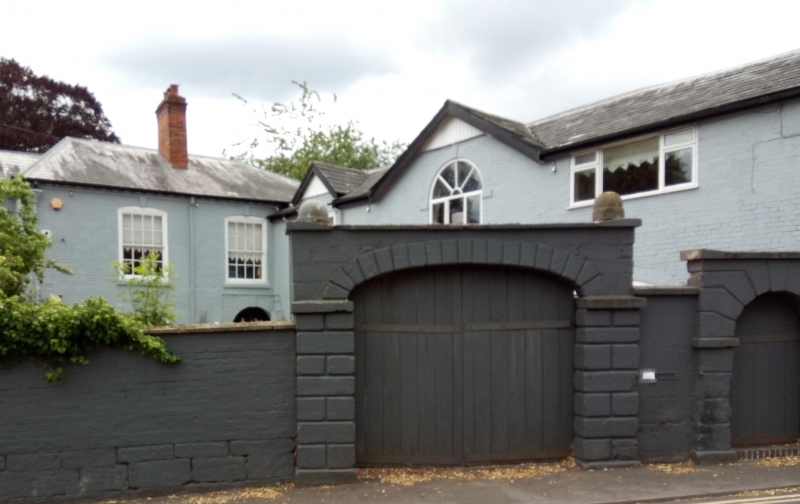
Wrought iron entrance gates with overthrow between rusticated stucco piers.
Listing NGR: SO9524270868
External links are from the relevant listing authority and, where applicable, Wikidata. Wikidata IDs may be related buildings as well as this specific building. If you want to add or update a link, you will need to do so by editing the Wikidata entry.


Other nearby listed buildings
