Approximate Location Map
Large Map »
Latitude: 52.1937 / 52°11'37"N
Longitude: -2.2241 / 2°13'26"W
OS Eastings: 384776
OS Northings: 255075
OS Grid: SO847550
Mapcode National: GBR 1G4.GHM
Mapcode Global: VH92T.D4K4
Plus Code: 9C4V5QVG+F9
Entry Name: City Wall, N of Angel Row
Listing Date: 5 April 1971
Last Amended: 12 June 2001
Grade: II
Source: Historic England
Source ID: 1390185
English Heritage Legacy ID: 489155
ID on this website: 101390185
Location: Worcester, Worcestershire, WR1
County: Worcestershire
District: Worcester
Electoral Ward/Division: Cathedral
Parish: Non Civil Parish
Built-Up Area: Worcester
Traditional County: Worcestershire
Lieutenancy Area (Ceremonial County): Worcestershire
Church of England Parish: Worcester St Nicholas and All Saints
Church of England Diocese: Worcester
Tagged with: City walls
WORCESTER
SO8455SE THE BUTTS
620-1/12/709 (South side
05/04/71 City Wall, N of Angel Row
(Formerly Listed as:
City Walls)
II
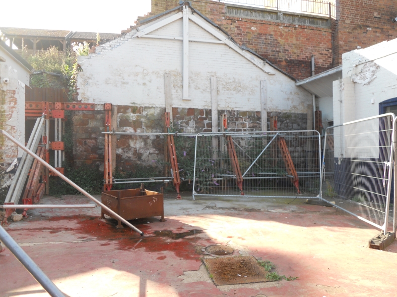
City Wall. C14. Dressed red sandstone, and surviving as a
length of approx. 47m long.
Scheduled Ancient Monument.
External links are from the relevant listing authority and, where applicable, Wikidata. Wikidata IDs may be related buildings as well as this specific building. If you want to add or update a link, you will need to do so by editing the Wikidata entry.


Other nearby listed buildings
