Approximate Location Map
Large Map »
Latitude: 55.7341 / 55°44'2"N
Longitude: -3.8358 / 3°50'8"W
OS Eastings: 284823
OS Northings: 650497
OS Grid: NS848504
Mapcode National: GBR 12N4.C9
Mapcode Global: WH5SB.14QG
Plus Code: 9C7RP5M7+MM
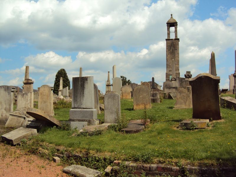
Entry Name: Churchyard, St Luke's Church, Carluke
Listing Name: St. Lukes Church and Churchyard
Listing Date: 12 January 1971
Category: B
Source: Historic Scotland
Source ID: 331150
Historic Scotland Designation Reference: LB742
Building Class: Cultural
ID on this website: 200331150
Location: Carluke
County: South Lanarkshire
Electoral Ward: Clydesdale West
Parish: Carluke
Traditional County: Lanarkshire
Tagged with: Churchyard
Fragment of previous kirk.
External links are from the relevant listing authority and, where applicable, Wikidata. Wikidata IDs may be related buildings as well as this specific building. If you want to add or update a link, you will need to do so by editing the Wikidata entry.


Other nearby listed buildings
