Approximate Location Map
Large Map »
Latitude: 55.9384 / 55°56'18"N
Longitude: -3.9068 / 3°54'24"W
OS Eastings: 280991
OS Northings: 673351
OS Grid: NS809733
Mapcode National: GBR 1D.YY0K
Mapcode Global: WH4PZ.YZSX
Plus Code: 9C7RW3QV+97
Entry Name: Fannyside Mill
Listing Name: Fannyside Mill
Listing Date: 23 October 1979
Category: B
Source: Historic Scotland
Source ID: 331559
Historic Scotland Designation Reference: LB1073
Building Class: Cultural
ID on this website: 200331559
Location: Cumbernauld
County: North Lanarkshire
Electoral Ward: Cumbernauld East
Parish: Cumbernauld
Traditional County: Dunbartonshire
Tagged with: Grain mill
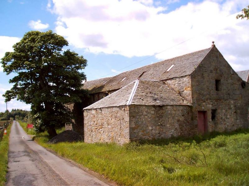
Plain two-storey cornmill, rubble and slate, internal
wheel, inset lintel stone dated 1763. Altered and extended
early 19th century. Disused.
External links are from the relevant listing authority and, where applicable, Wikidata. Wikidata IDs may be related buildings as well as this specific building. If you want to add or update a link, you will need to do so by editing the Wikidata entry.


Other nearby listed buildings
