Approximate Location Map
Large Map »
Latitude: 56.1973 / 56°11'50"N
Longitude: -3.892 / 3°53'31"W
OS Eastings: 282704
OS Northings: 702128
OS Grid: NN827021
Mapcode National: GBR 1F.FFMH
Mapcode Global: WH4NV.5HXG
Plus Code: 9C8R54W5+W5
Entry Name: Sheriffmuir Inn
Listing Name: Sheriffmuir Inn
Listing Date: 6 September 1979
Category: C
Source: Historic Scotland
Source ID: 335100
Historic Scotland Designation Reference: LB3925
Building Class: Cultural
ID on this website: 200335100
Location: Dunblane and Lecropt
County: Stirling
Electoral Ward: Dunblane and Bridge of Allan
Parish: Dunblane And Lecropt
Traditional County: Perthshire
Tagged with: Inn
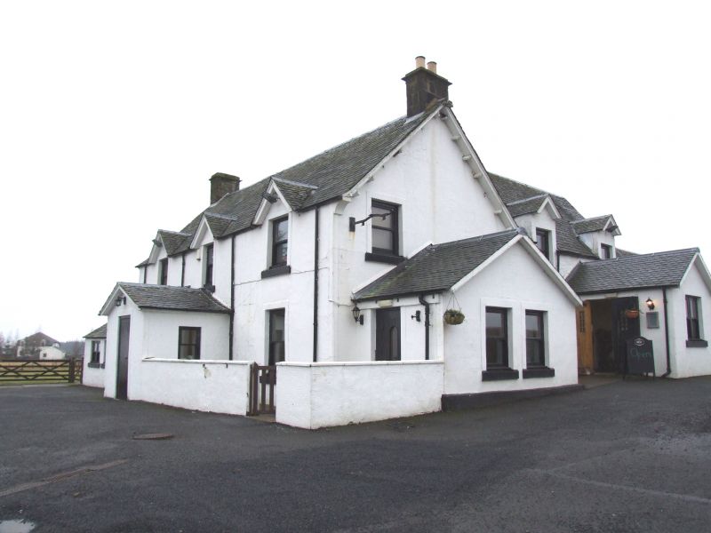
2-storey 3-window with porch and gablets to 1st floor
windows: rear additions etc.: stuccoed with margins. Mid 19th
cent. in present form.
External links are from the relevant listing authority and, where applicable, Wikidata. Wikidata IDs may be related buildings as well as this specific building. If you want to add or update a link, you will need to do so by editing the Wikidata entry.


Other nearby listed buildings
