Approximate Location Map
Large Map »
Latitude: 56.7294 / 56°43'45"N
Longitude: -2.5397 / 2°32'23"W
OS Eastings: 367072
OS Northings: 759880
OS Grid: NO670598
Mapcode National: GBR X2.H0XZ
Mapcode Global: WH8RH.Y3SZ
Plus Code: 9C8VPFH6+Q4
Entry Name: Walled Garden And Terrace Gatepiers, House Of Dun
Listing Name: House of Dun Walled Garden and Terrace Gatepiers
Listing Date: 11 June 1971
Category: B
Source: Historic Scotland
Source ID: 335975
Historic Scotland Designation Reference: LB4693
Building Class: Cultural
ID on this website: 200335975
Location: Dun
County: Angus
Electoral Ward: Montrose and District
Parish: Dun
Traditional County: Angus
Tagged with: Architectural structure
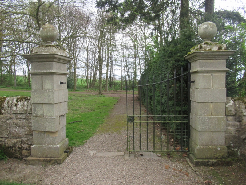
Plain rubble: curved walls, connect to house to match
those of offices. Rusticated piers, ball finials.
External links are from the relevant listing authority and, where applicable, Wikidata. Wikidata IDs may be related buildings as well as this specific building. If you want to add or update a link, you will need to do so by editing the Wikidata entry.


Other nearby listed buildings
