Approximate Location Map
Large Map »
Latitude: 56.73 / 56°43'48"N
Longitude: -2.545 / 2°32'42"W
OS Eastings: 366749
OS Northings: 759951
OS Grid: NO667599
Mapcode National: GBR X1.75Q5
Mapcode Global: WH8RH.W38J
Plus Code: 9C8VPFJ3+2X
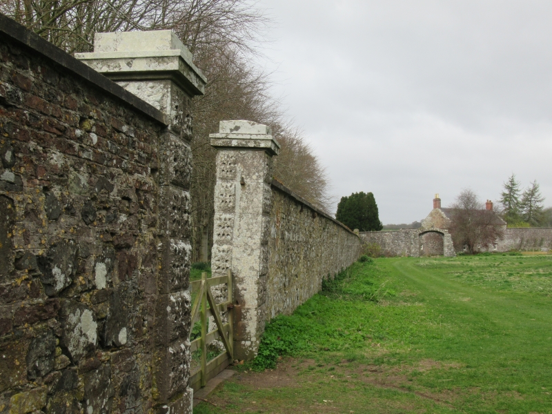
Entry Name: Walled Garden And House, House Of Dun
Listing Name: House of Dun Walled Garden
Listing Date: 11 June 1971
Category: B
Source: Historic Scotland
Source ID: 335978
Historic Scotland Designation Reference: LB4696
Building Class: Cultural
ID on this website: 200335978
Location: Dun
County: Angus
Electoral Ward: Montrose and District
Parish: Dun
Traditional County: Angus
Formed c.1730 onwards partly over the site of the old
House of Dun. Irregular shape, mostly rubble but with
brick alterations and additions. 2-storey 3-window
ashlar fronted house (rear elevation of brick)
associated.
External links are from the relevant listing authority and, where applicable, Wikidata. Wikidata IDs may be related buildings as well as this specific building. If you want to add or update a link, you will need to do so by editing the Wikidata entry.


Other nearby listed buildings
