Approximate Location Map
Large Map »
Latitude: 56.6897 / 56°41'22"N
Longitude: -2.7806 / 2°46'50"W
OS Eastings: 352284
OS Northings: 755602
OS Grid: NO522556
Mapcode National: GBR VQ.3L3G
Mapcode Global: WH7QG.835X
Plus Code: 9C8VM6Q9+VQ
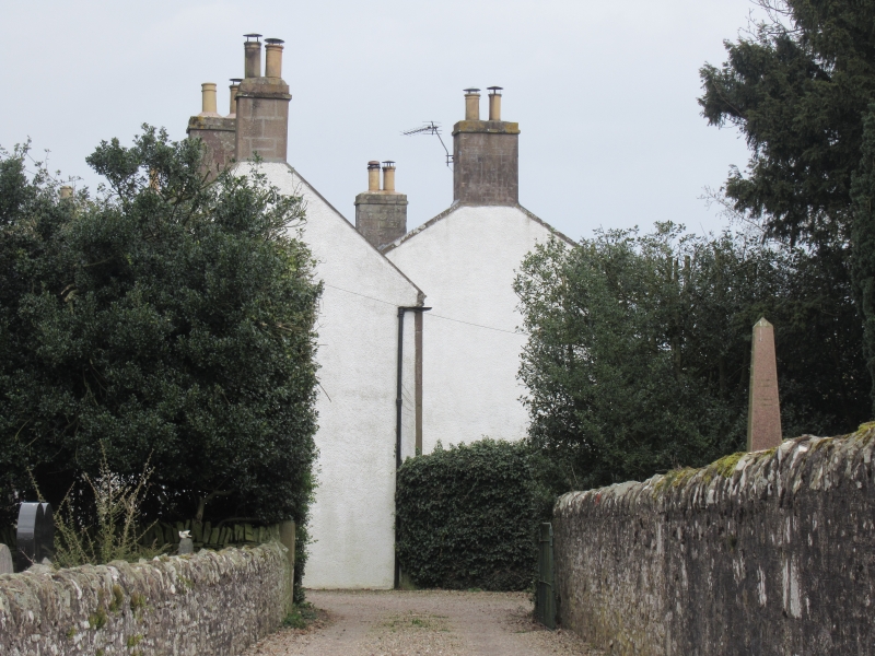
Entry Name: Aberlemno Parish Manse
Listing Name: Parish Kirk Manse, Including Garden Walls, Gardenhouse with Dovecot.
Listing Date: 11 June 1971
Category: B
Source: Historic Scotland
Source ID: 336263
Historic Scotland Designation Reference: LB4949
Building Class: Cultural
ID on this website: 200336263
Location: Aberlemno
County: Angus
Electoral Ward: Brechin and Edzell
Parish: Aberlemno
Traditional County: Angus
Tagged with: Architectural structure
Two-storey harl and slate 1782. (date stone not in
situ). Altered and with large addition 1842. Sculptured
mediaeval fontstone in garden.
External links are from the relevant listing authority and, where applicable, Wikidata. Wikidata IDs may be related buildings as well as this specific building. If you want to add or update a link, you will need to do so by editing the Wikidata entry.


Other nearby listed buildings
