Approximate Location Map
Large Map »
Latitude: 56.0686 / 56°4'6"N
Longitude: -6.1866 / 6°11'11"W
OS Eastings: 139530
OS Northings: 694098
OS Grid: NR395940
Mapcode National: GBR CD3P.31C
Mapcode Global: WGYFH.YQ5M
Plus Code: 9C8M3R97+C9
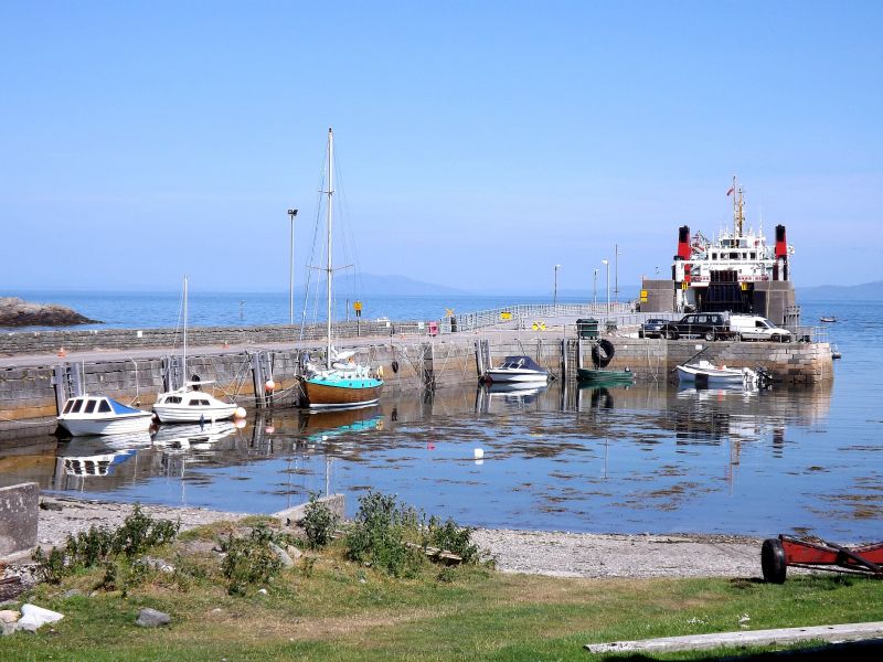
Entry Name: Scalasaig Harbour, Scalasaig, Colonsay
Listing Name: Scalasaig Harbour, Port Na Feamainn.
Listing Date: 28 August 1980
Category: C
Source: Historic Scotland
Source ID: 336403
Historic Scotland Designation Reference: LB5081
Building Class: Cultural
ID on this website: 200336403
Location: Colonsay and Oronsay
County: Argyll and Bute
Electoral Ward: Kintyre and the Islands
Parish: Colonsay And Oronsay
Traditional County: Argyllshire
Tagged with: Harbour
Earlier 19th century. Large dressed blocks. JETTY - L-plan;
parapet wall; steps; long slip. BREAKWATER; rounded above
water-line.
Built for John McNeill 4th of Colonsay (1767-1846) ("the
Old Laird).
External links are from the relevant listing authority and, where applicable, Wikidata. Wikidata IDs may be related buildings as well as this specific building. If you want to add or update a link, you will need to do so by editing the Wikidata entry.


Other nearby listed buildings
