Approximate Location Map
Large Map »
Latitude: 55.8026 / 55°48'9"N
Longitude: -4.0826 / 4°4'57"W
OS Eastings: 269558
OS Northings: 658556
OS Grid: NS695585
Mapcode National: GBR 3Z.7H1F
Mapcode Global: WH4QP.8D5Z
Plus Code: 9C7QRW38+3X
Entry Name: Blantyre Mills, Station Road, Blantyre
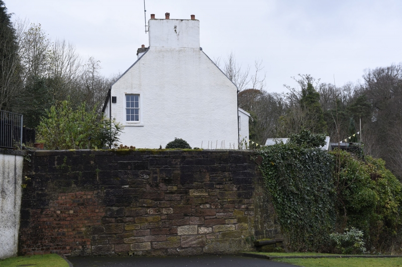
Listing Name: Mill House, Blantyre
Listing Date: 12 January 1971
Category: B
Source: Historic Scotland
Source ID: 336510
Historic Scotland Designation Reference: LB5164
Building Class: Cultural
ID on this website: 200336510
Location: Blantyre
County: South Lanarkshire
Electoral Ward: Blantyre
Parish: Blantyre
Traditional County: Lanarkshire
Tagged with: Flour mill
Small remaining portion of original long mill range.
External links are from the relevant listing authority and, where applicable, Wikidata. Wikidata IDs may be related buildings as well as this specific building. If you want to add or update a link, you will need to do so by editing the Wikidata entry.


Other nearby listed buildings
