Approximate Location Map
Large Map »
Latitude: 56.5658 / 56°33'57"N
Longitude: -3.587 / 3°35'13"W
OS Eastings: 302575
OS Northings: 742670
OS Grid: NO025426
Mapcode National: GBR V2.RBLD
Mapcode Global: WH5NC.W73D
Plus Code: 9C8RHC87+86
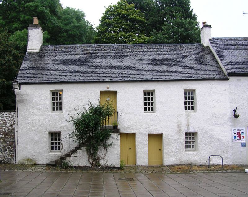
Entry Name: 11 The Cross, Dunkeld
Listing Name: 11 the Cross, High Street (N.)
Listing Date: 5 October 1971
Category: B
Source: Historic Scotland
Source ID: 337133
Historic Scotland Designation Reference: LB5648
Building Class: Cultural
ID on this website: 200337133
Location: Dunkeld and Dowally
County: Perth and Kinross
Electoral Ward: Strathtay
Parish: Dunkeld And Dowally
Traditional County: Perthshire
Tagged with: Architectural structure
2-storey 4-window harled without margins, forestair; S.W.
corner splayed, wall with archway adjoins on W. Early 18th
cent.
between these blocks a block built new in traditional manner
by S.S.H.A. as part of restoration scheme.
External links are from the relevant listing authority and, where applicable, Wikidata. Wikidata IDs may be related buildings as well as this specific building. If you want to add or update a link, you will need to do so by editing the Wikidata entry.


Other nearby listed buildings
