Approximate Location Map
Large Map »
Latitude: 55.8947 / 55°53'40"N
Longitude: -3.3077 / 3°18'27"W
OS Eastings: 318318
OS Northings: 667610
OS Grid: NT183676
Mapcode National: GBR 50B8.PR
Mapcode Global: WH6SY.535D
Plus Code: 9C7RVMVR+VW
Entry Name: Burial Ground, Currie Kirk, Kirkgate, Currie
Listing Name: Currie Parish Church, Churchyard (Original Area Only) Kirkgate, Currie
Listing Date: 16 February 1976
Category: B
Source: Historic Scotland
Source ID: 337670
Historic Scotland Designation Reference: LB6140
Building Class: Cultural
ID on this website: 200337670
Location: Currie
County: Edinburgh
Electoral Ward: Pentland Hills
Parish: Currie
Traditional County: Midlothian
Tagged with: Cemetery Architectural structure
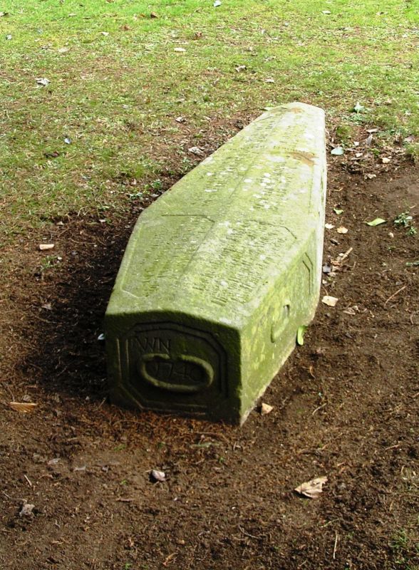
Old rubble-walled enclosure, walls partly retaining. Templar
and Calvary cross slabs incorporated into church buildings,
some good richly sculptured 18th century. stones, George
Davidson of Newmills mausoleum with plain droved ashlar
quoined and pedimented front dated 1818.
External links are from the relevant listing authority and, where applicable, Wikidata. Wikidata IDs may be related buildings as well as this specific building. If you want to add or update a link, you will need to do so by editing the Wikidata entry.


Other nearby listed buildings
