Approximate Location Map
Large Map »
Latitude: 56.2985 / 56°17'54"N
Longitude: -2.6577 / 2°39'27"W
OS Eastings: 359393
OS Northings: 711975
OS Grid: NO593119
Mapcode National: GBR 2X.72W4
Mapcode Global: WH8TD.4YPD
Plus Code: 9C8V78XR+9W
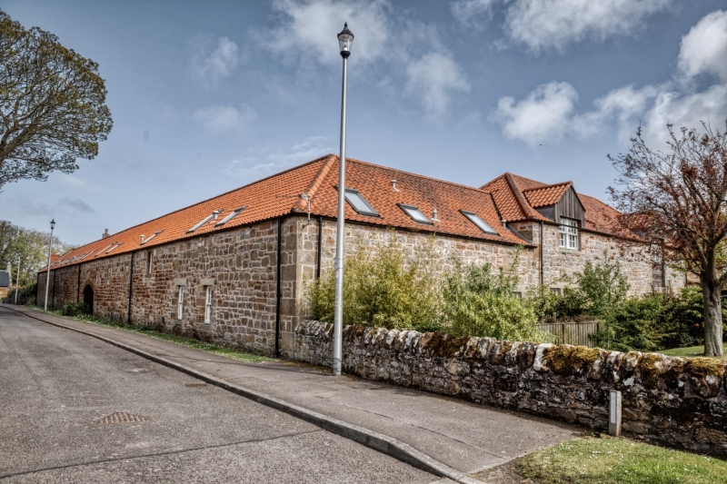
Entry Name: South Quarter Farm Steading, Kingsbarns
Listing Name: South Quarter Farm Steading Including Farmyard Walls
Listing Date: 23 November 1971
Category: B
Source: Historic Scotland
Source ID: 340941
Historic Scotland Designation Reference: LB8739
Building Class: Cultural
ID on this website: 200340941
Location: Kingsbarns
County: Fife
Electoral Ward: East Neuk and Landward
Parish: Kingsbarns
Traditional County: Fife
Tagged with: Farmstead
18th century. Traditional rubble and pantile, extensive high farmyard walls with gatepiers.
External links are from the relevant listing authority and, where applicable, Wikidata. Wikidata IDs may be related buildings as well as this specific building. If you want to add or update a link, you will need to do so by editing the Wikidata entry.


Other nearby listed buildings
