Approximate Location Map
Large Map »
Latitude: 56.0335 / 56°2'0"N
Longitude: -3.1362 / 3°8'10"W
OS Eastings: 329296
OS Northings: 682877
OS Grid: NT292828
Mapcode National: GBR 2B.RWXY
Mapcode Global: WH6S7.SLRZ
Plus Code: 9C8R2VM7+CG
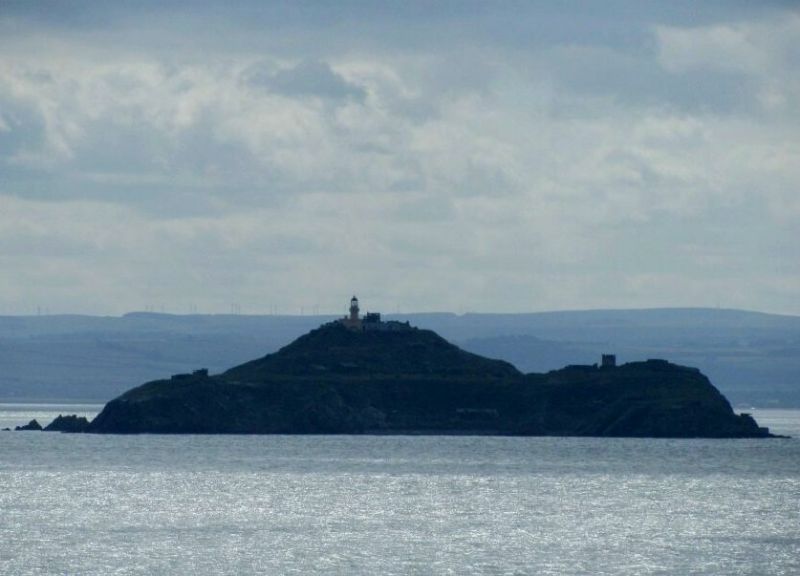
Entry Name: Inchkeith Lighthouse
Listing Name: Inchkeith Lighthouse, Lighthouse Keepers Cottage, Ancillary Buildings and Boundary Walls excluding scheduled monument SM3838, Inchkeith Island
Listing Date: 3 August 1971
Last Amended: 4 June 2018
Category: B
Source: Historic Scotland
Source ID: 342004
Historic Scotland Designation Reference: LB9707
Building Class: Cultural
ID on this website: 200342004
Location: Kinghorn
County: Fife
Electoral Ward: Burntisland, Kinghorn and Western Kirkcaldy
Parish: Kinghorn
Traditional County: Fife
Tagged with: Lighthouse
The lighthouse has a series of single storey ancillary buildings, one of which was used as the lighthouse keepers' cottage. The lighthouse and ancillary buildings are surrounded by rubble boundary walls which include a 50 yard stretch of wall (with loop-hole) from 16th century fort (see separate designation record: SM3838).
In accordance with Section 1 (4A) of the Planning (Listed Buildings and Conservation Areas) (Scotland) Act 1997 the following are excluded from the listing: scheduled monument SM3838 (see separate designation record).
The building of the lighthouse involved removal of almost all of a fort built by the French after they captured the island from the English in 1549, and partially demolished in 1567. The lighthouse originally had 1 stationary light. In 1815 a heptagon (seven lenses revolving around a fixed burner) was installed, this revolving light was purchased by the Government of Newfoundland and installed on Cape Spear in 1835 after installation in 1834 of a dioptic lantern. In 1889 an octagon (8 lenses) and new machinery were installed. The light is now entirely automated.
In accordance with Section 1 (4A) of the Planning (Listed Buildings and Conservation Areas) (Scotland) Act 1997 the following are excluded from the listing: scheduled monument SM3838 (see separate designation record).
Statutory Address revised in 2018. Previously listed as 'INCHKEITH ISLAND, LIGHTHOUSE AND REMAINS OF INCHKEITH FORT AND BOUNDARY WALLS'.
External links are from the relevant listing authority and, where applicable, Wikidata. Wikidata IDs may be related buildings as well as this specific building. If you want to add or update a link, you will need to do so by editing the Wikidata entry.


Other nearby listed buildings
