Approximate Location Map
Large Map »
Latitude: 55.9691 / 55°58'8"N
Longitude: -2.8711 / 2°52'16"W
OS Eastings: 345722
OS Northings: 675462
OS Grid: NT457754
Mapcode National: GBR 2N.WWDK
Mapcode Global: WH7TW.V7ZC
Plus Code: 9C7VX49H+JG
Entry Name: Landridge Limekilns, Wheatrig
Listing Name: Landridge Lime Kilns
Listing Date: 5 February 1971
Category: C
Source: Historic Scotland
Source ID: 346166
Historic Scotland Designation Reference: LB13156
Building Class: Cultural
ID on this website: 200346166
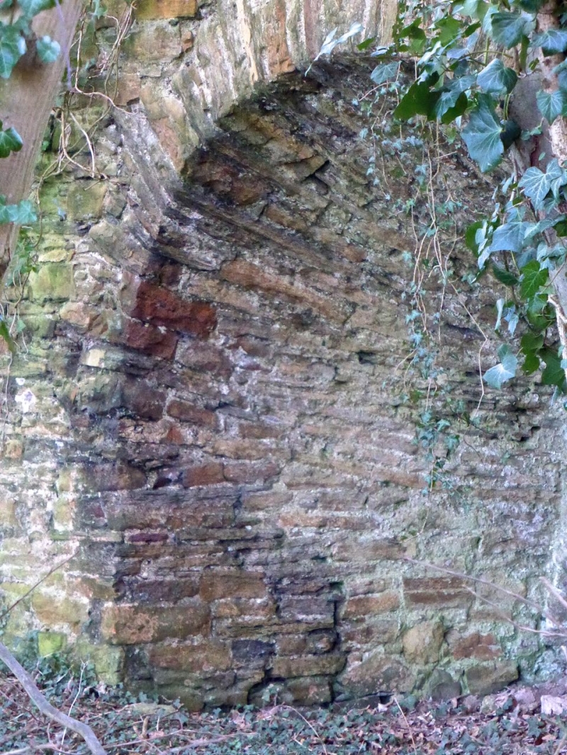
Late 18th century. Group of 2 large, overgrown lime kilns in separate obling blocks. Random rubble, ashlar lined.
W KILN: 24 feet wide at front with arched side wings. Kiln 15 feet diameter.
E KILN: 100 feet to E of above; kiln 40 feet wide, tapered kiln 12-20 feet diameter.
Disused by 1853 (see Skinner), the kilns have long been ruinous and are now overgrown.
External links are from the relevant listing authority and, where applicable, Wikidata. Wikidata IDs may be related buildings as well as this specific building. If you want to add or update a link, you will need to do so by editing the Wikidata entry.


Other nearby listed buildings
