Approximate Location Map
Large Map »
Latitude: 55.4574 / 55°27'26"N
Longitude: -4.3149 / 4°18'53"W
OS Eastings: 253716
OS Northings: 620608
OS Grid: NS537206
Mapcode National: GBR 3P.YB6V
Mapcode Global: WH3R5.P3H3
Plus Code: 9C7QFM4P+X2
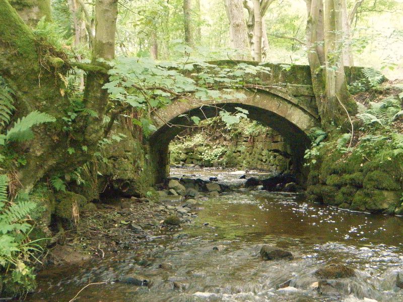
Entry Name: Waterloo Bridge, Back Burn, West Drive, Dumfries House
Listing Name: Waterloo Bridge, Dumfries House Policies
Listing Date: 6 November 1979
Category: C
Source: Historic Scotland
Source ID: 347757
Historic Scotland Designation Reference: LB14418
Building Class: Cultural
ID on this website: 200347757
Location: Old Cumnock
County: East Ayrshire
Electoral Ward: Cumnock and New Cumnock
Parish: Old Cumnock
Traditional County: Ayrshire
Tagged with: Road bridge
Single stone arch carrying west drive across Mill Lake.
External links are from the relevant listing authority and, where applicable, Wikidata. Wikidata IDs may be related buildings as well as this specific building. If you want to add or update a link, you will need to do so by editing the Wikidata entry.


Other nearby listed buildings
