Approximate Location Map
Large Map »
Latitude: 55.6163 / 55°36'58"N
Longitude: -3.254 / 3°15'14"W
OS Eastings: 321112
OS Northings: 636566
OS Grid: NT211365
Mapcode National: GBR 53QH.9K
Mapcode Global: WH6V9.Z3MB
Plus Code: 9C7RJP8W+G9
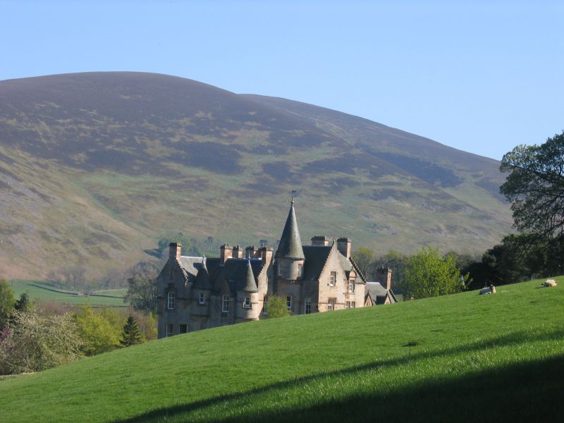
Entry Name: Glenternie
Listing Name: Glenternie
Listing Date: 23 February 1971
Category: B
Source: Historic Scotland
Source ID: 348914
Historic Scotland Designation Reference: LB15351
Building Class: Cultural
Also known as: Glenternie House
ID on this website: 200348914
Location: Manor
County: Scottish Borders
Electoral Ward: Tweeddale West
Parish: Manor
Traditional County: Peeblesshire
Tagged with: Building
A good example of one of the smaller baronial mansions by David Bryce, 1864.
External links are from the relevant listing authority and, where applicable, Wikidata. Wikidata IDs may be related buildings as well as this specific building. If you want to add or update a link, you will need to do so by editing the Wikidata entry.


Other nearby listed buildings
