Approximate Location Map
Large Map »
Latitude: 57.175 / 57°10'29"N
Longitude: -2.2666 / 2°15'59"W
OS Eastings: 383976
OS Northings: 809379
OS Grid: NJ839093
Mapcode National: GBR XG.3XCT
Mapcode Global: WH9QG.4XXG
Plus Code: 9C9V5PFM+X8
Entry Name: Boundary Marker 31, Wynford, Aberdeen
Listing Name: March Stone NO.31 on the Farm of Wynford W of the Road to Rivehill and N.n.e. of NO.30
Listing Date: 16 April 1971
Category: B
Source: Historic Scotland
Source ID: 349333
Historic Scotland Designation Reference: LB15666
Building Class: Cultural
ID on this website: 200349333
Location: Newhills
County: Aberdeen
Electoral Ward: Dyce/Bucksburn/Danestone
Parish: Newhills
Traditional County: Aberdeenshire
Tagged with: Boundary marker
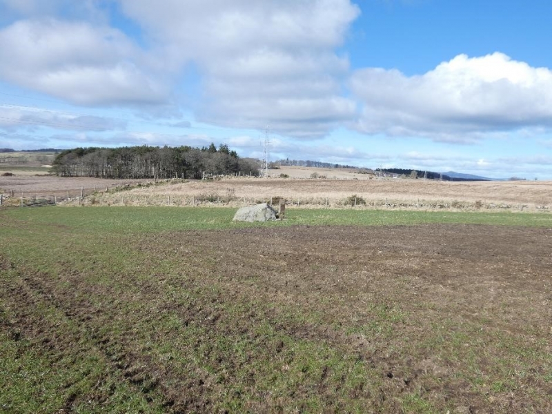
Marked ABD 31. Simple granite stone tapered at top; cup stone
and 'Doupin Stone' adjoin.
External links are from the relevant listing authority and, where applicable, Wikidata. Wikidata IDs may be related buildings as well as this specific building. If you want to add or update a link, you will need to do so by editing the Wikidata entry.


Other nearby listed buildings
