Approximate Location Map
Large Map »
Latitude: 57.5818 / 57°34'54"N
Longitude: -2.0798 / 2°4'47"W
OS Eastings: 395326
OS Northings: 854637
OS Grid: NJ953546
Mapcode National: GBR P86P.CW0
Mapcode Global: WH9NM.0PWM
Plus Code: 9C9VHWJC+P3
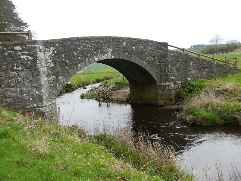
Entry Name: Roman Bridge, Howford
Listing Name: "Roman" Bridge, Howford, over North Ugie Water.
Listing Date: 15 February 1982
Category: C
Source: Historic Scotland
Source ID: 350277
Historic Scotland Designation Reference: LB16544
Building Class: Cultural
ID on this website: 200350277
Location: Strichen
County: Aberdeenshire
Electoral Ward: Central Buchan
Parish: Strichen
Traditional County: Aberdeenshire
Tagged with: Bridge Road bridge Stone arch bridge
Dated 1777. Single segmental arch, dressed voussoirs and base
courses. Wide approaches, splayed in to arch. Parapets much
ruined and W. approach partly collapsed.
On account of condition.
External links are from the relevant listing authority and, where applicable, Wikidata. Wikidata IDs may be related buildings as well as this specific building. If you want to add or update a link, you will need to do so by editing the Wikidata entry.


Other nearby listed buildings
