Approximate Location Map
Large Map »
Latitude: 57.5826 / 57°34'57"N
Longitude: -2.0901 / 2°5'24"W
OS Eastings: 394713
OS Northings: 854735
OS Grid: NJ947547
Mapcode National: GBR P86P.75S
Mapcode Global: WH9NL.VNXY
Plus Code: 9C9VHWM5+3X
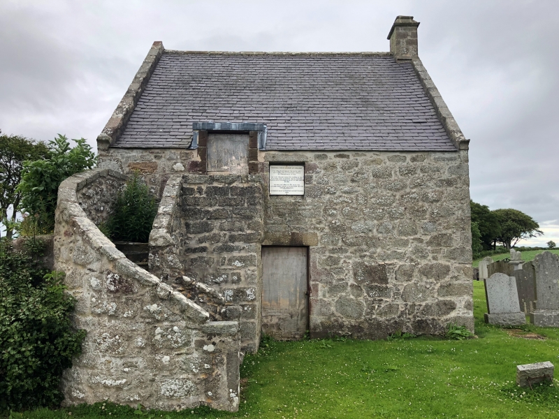
Entry Name: Churchyard, Parish Church, Strichen
Listing Name: Old Parish Church Graveyard
Listing Date: 15 February 1982
Category: C
Source: Historic Scotland
Source ID: 350305
Historic Scotland Designation Reference: LB16571
Building Class: Cultural
ID on this website: 200350305
Location: Strichen
County: Aberdeenshire
Electoral Ward: Central Buchan
Parish: Strichen
Traditional County: Aberdeenshire
Tagged with: Churchyard
Rubble walled enclosure with graveslabs from 18th century,
mostly modern.
External links are from the relevant listing authority and, where applicable, Wikidata. Wikidata IDs may be related buildings as well as this specific building. If you want to add or update a link, you will need to do so by editing the Wikidata entry.


Other nearby listed buildings
