Approximate Location Map
Large Map »
Latitude: 56.3324 / 56°19'56"N
Longitude: -3.8326 / 3°49'57"W
OS Eastings: 286787
OS Northings: 717072
OS Grid: NN867170
Mapcode National: GBR 1H.52XJ
Mapcode Global: WH5PF.3369
Plus Code: 9C8R85J8+XW
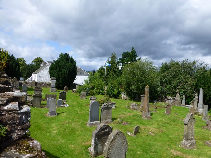
Entry Name: Muthill Old Parish Churchyard
Listing Date: 5 October 1971
Category: B
Source: Historic Scotland
Source ID: 352163
Historic Scotland Designation Reference: LB18160
Building Class: Cultural
ID on this website: 200352163
Location: Muthill
County: Perth and Kinross
Electoral Ward: Strathallan
Parish: Muthill
Traditional County: Perthshire
Graveyard enclosure surrounding church with gravestones from
17th cent. onwards. Segment-headed archway to street.
External links are from the relevant listing authority and, where applicable, Wikidata. Wikidata IDs may be related buildings as well as this specific building. If you want to add or update a link, you will need to do so by editing the Wikidata entry.


Other nearby listed buildings
