Approximate Location Map
Large Map »
Latitude: 57.1292 / 57°7'44"N
Longitude: -2.1516 / 2°9'5"W
OS Eastings: 390922
OS Northings: 804259
OS Grid: NJ909042
Mapcode National: GBR S3W.H5
Mapcode Global: WH9QW.X2MJ
Plus Code: 9C9V4RHX+M9
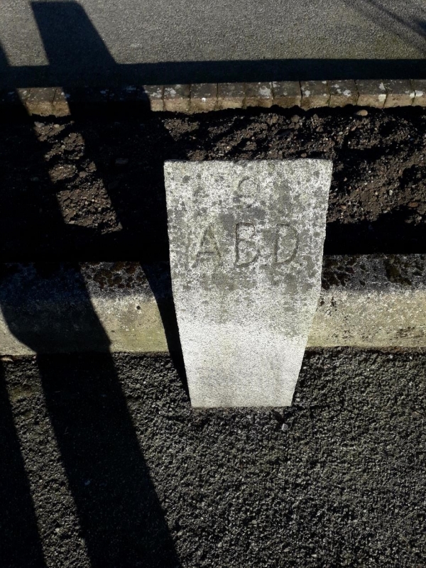
Entry Name: Boundary Marker 9, 126 Craigton Road, Aberdeen
Listing Name: March Stone No. 9, at 126 Craigton Road.
Listing Date: 12 January 1967
Category: B
Source: Historic Scotland
Source ID: 354464
Historic Scotland Designation Reference: LB20022
Building Class: Cultural
ID on this website: 200354464
Location: Aberdeen
County: Aberdeen
Town: Aberdeen
Electoral Ward: Airyhall/Broomhill/Garthdee
Traditional County: Aberdeenshire
Tagged with: Boundary marker
Marked 9 ABD. Missing 1840 and replaced.
External links are from the relevant listing authority and, where applicable, Wikidata. Wikidata IDs may be related buildings as well as this specific building. If you want to add or update a link, you will need to do so by editing the Wikidata entry.


Other nearby listed buildings
