Approximate Location Map
Large Map »
Latitude: 56.2607 / 56°15'38"N
Longitude: -2.626 / 2°37'33"W
OS Eastings: 361319
OS Northings: 707748
OS Grid: NO613077
Mapcode National: GBR 2Y.9HZF
Mapcode Global: WH8TL.MWRW
Plus Code: 9C8V796F+7J
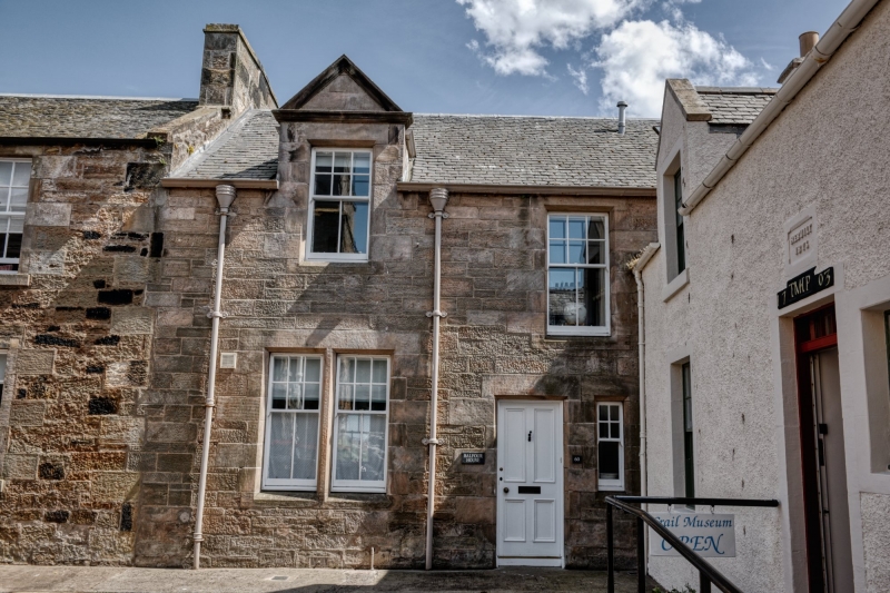
Entry Name: Balfour House, 60 Marketgate, Crail
Listing Name: 60 Marketgate, Balfour House Including Garden Wall to Tolbooth Wynd
Listing Date: 9 May 1972
Category: B
Source: Historic Scotland
Source ID: 359018
Historic Scotland Designation Reference: LB23284
Building Class: Cultural
ID on this website: 200359018
Location: Crail
County: Fife
Town: Crail
Electoral Ward: East Neuk and Landward
Traditional County: Fife
Tagged with: House
Circa 1900. 2-storey and basement 2-window snecked rubble with pedimented dormer head to Marketgate crowstepped; wrought-iron railed forestair and corbelled angle oriel with ogee roof to Tolbooth Street. Old inset stone 'Gods Blessing is my land and rent.'
External links are from the relevant listing authority and, where applicable, Wikidata. Wikidata IDs may be related buildings as well as this specific building. If you want to add or update a link, you will need to do so by editing the Wikidata entry.


Other nearby listed buildings
