Approximate Location Map
Large Map »
Latitude: 56.2578 / 56°15'28"N
Longitude: -2.6278 / 2°37'39"W
OS Eastings: 361205
OS Northings: 707436
OS Grid: NO612074
Mapcode National: GBR 2Y.9PL9
Mapcode Global: WH8TL.LZW1
Plus Code: 9C8V795C+4V
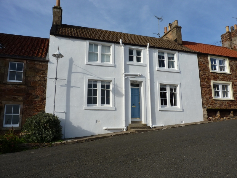
Entry Name: 31 Shoregate, Crail
Listing Name: 31 Shoregate
Listing Date: 9 May 1972
Category: C
Source: Historic Scotland
Source ID: 359117
Historic Scotland Designation Reference: LB23376
Building Class: Cultural
ID on this website: 200359117
Location: Crail
County: Fife
Town: Crail
Electoral Ward: East Neuk and Landward
Traditional County: Fife
Tagged with: Architectural structure
18th century, unsympathetically altered in recent times. 2-storey 3-window stuccoed with margins, pantiled: centre 1st window shortened, others widened.
Re-categorised as C(S) from B for Group (2006). The listing relates specifically to the group interest of the subject. It applies, as always, to interior as well as exterior, as appropriate to building type.
External links are from the relevant listing authority and, where applicable, Wikidata. Wikidata IDs may be related buildings as well as this specific building. If you want to add or update a link, you will need to do so by editing the Wikidata entry.


Other nearby listed buildings
