Approximate Location Map
Large Map »
Latitude: 56.2582 / 56°15'29"N
Longitude: -2.6261 / 2°37'34"W
OS Eastings: 361307
OS Northings: 707472
OS Grid: NO613074
Mapcode National: GBR 2Y.9PY4
Mapcode Global: WH8TL.MYNS
Plus Code: 9C8V795F+7G
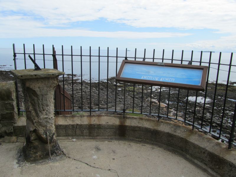
Entry Name: Sundial, Castle Promenade, Crail
Listing Name: Sundial, Castle Promenade
Listing Date: 9 May 1972
Category: B
Source: Historic Scotland
Source ID: 359148
Historic Scotland Designation Reference: LB23402
Building Class: Cultural
ID on this website: 200359148
Location: Crail
County: Fife
Town: Crail
Electoral Ward: East Neuk and Landward
Traditional County: Fife
Tagged with: Sundial
17th century. Circular moulded shaft broached to square top and bottom. Circular stone dial relettered 1890. Removed from harbour 1833.
External links are from the relevant listing authority and, where applicable, Wikidata. Wikidata IDs may be related buildings as well as this specific building. If you want to add or update a link, you will need to do so by editing the Wikidata entry.


Other nearby listed buildings
