Approximate Location Map
Large Map »
Latitude: 56.2621 / 56°15'43"N
Longitude: -2.6293 / 2°37'45"W
OS Eastings: 361115
OS Northings: 707909
OS Grid: NO611079
Mapcode National: GBR 2Y.9H6W
Mapcode Global: WH8TL.LV5S
Plus Code: 9C8V796C+R7
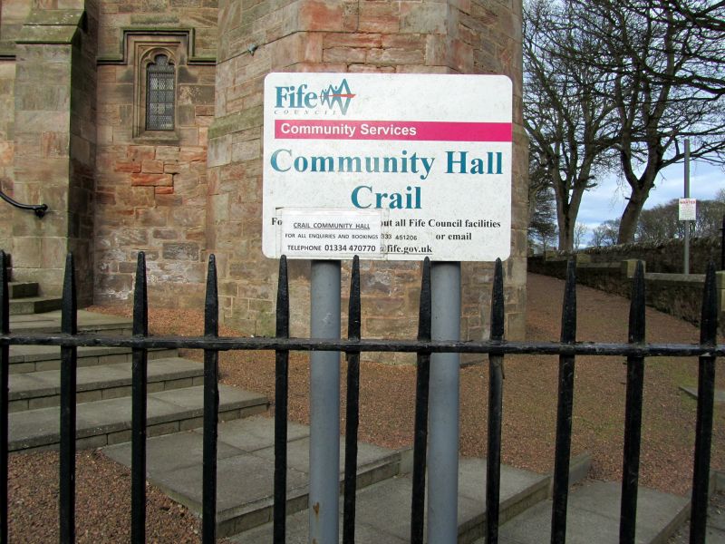
Entry Name: Parish Church Hall, St Andrews Road, Crail
Listing Name: Crail Church Hall, St Andrew's Road Including Front Wall, Railings and Wrought-Iron Lampholders
Listing Date: 9 May 1972
Category: B
Source: Historic Scotland
Source ID: 359240
Historic Scotland Designation Reference: LB23478
Building Class: Cultural
ID on this website: 200359240
Location: Crail
County: Fife
Town: Crail
Electoral Ward: East Neuk and Landward
Traditional County: Fife
Tagged with: Church building
J D Cairns 1908. Late gothic, snecked rubble and slate, transepts, SW octagonal spirelet with red tile roof, cupola ventilator at nave roof, rear hall; finely detailed.
Built as UF Church.
External links are from the relevant listing authority and, where applicable, Wikidata. Wikidata IDs may be related buildings as well as this specific building. If you want to add or update a link, you will need to do so by editing the Wikidata entry.


Other nearby listed buildings
