Approximate Location Map
Large Map »
Latitude: 55.9504 / 55°57'1"N
Longitude: -3.2092 / 3°12'33"W
OS Eastings: 324586
OS Northings: 673703
OS Grid: NT245737
Mapcode National: GBR 8KG.FF
Mapcode Global: WH6SL.PP0P
Plus Code: 9C7RXQ2R+58
Entry Name: 8 Queensferry Street, Edinburgh
Listing Name: 4, 5, 6, 7, 8 Queensferry Street
Listing Date: 14 December 1970
Category: B
Source: Historic Scotland
Source ID: 369623
Historic Scotland Designation Reference: LB29577
Building Class: Cultural
ID on this website: 200369623
Location: Edinburgh
County: Edinburgh
Town: Edinburgh
Electoral Ward: City Centre
Traditional County: Midlothian
Tagged with: Architectural structure
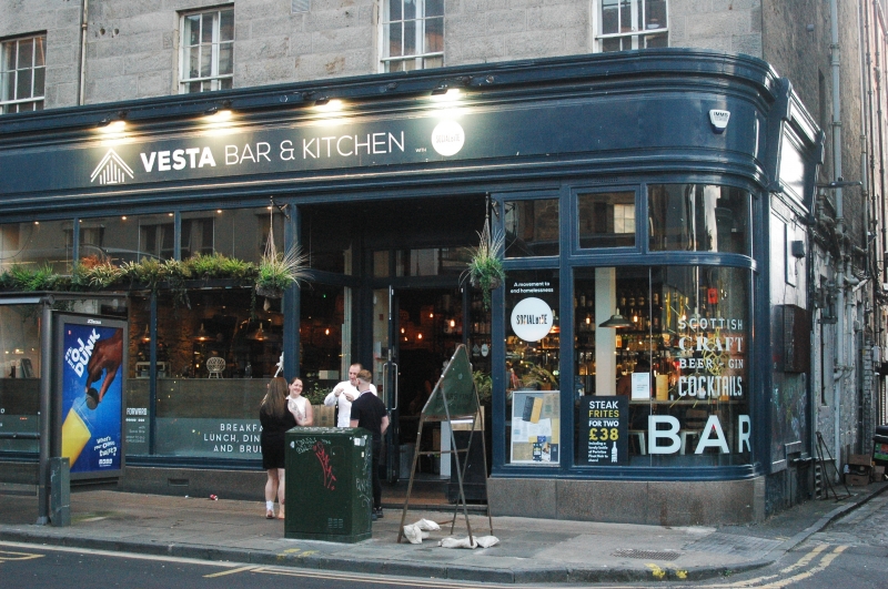
Probably James Tait, 1809. 3-storey, 8-bay plain classical terrace now converted to flats with advanced shop fronts at ground floor, later 19th century box and rectangular dormers at attic, slate hung cheeks. Sandstone ashlar to E (principal) elevation, squared coursed rubble with long and short ashlar quoins to N (side) elevation, painted at ground floor. Advanced timber continuous corniced shop fronts (Nos. 4, 5, 6, 7, 8) wrapping around N corner; 3-bay shop front to left with shouldered plate glass openings and pierced cast-iron balustrade. Tenement doorway to right, fanlight with geometric glazing. Corniced eaves course. Stone cills and lintels to 1st and 2nd floor windows. Irregular fenestration to N (side) elevation, door to far right.
Plate glass and timber shop fronts. Predominantly 12-pane in timber sash and case windows at 1st and 2nd floors. Double pitch M-section roof; grey slates; ashlar skews. Corniced gable end and ridge stacks; modern clay cans. Cast-iron rainwater goods.
These town houses are among the last remaining of the original palace fronted plan for the southern end of Queensferry Street by James Tait. Similar townhouses to the S (at 1, 2, 3, Queensferry Street) have been replaced by a later 19th century bank building by Sydney Mitchell (see separate listing). The original scheme was designed by James Tait for John Cockburn Ross of Nigg, and was the first part of the Western New Town to be developed. Kirkwood's 1819 plan shows a nearly completed block with the scheme of individual townhouses, advanced end and centre blocks clearly visible. Nos. 4, 5, 6, 7, 8 are a significant piece of the streetscape along Queensferry Street representing the original 19th century design. They illustrate the modest but well proportioned approach and are important context for the later development of Queensferry Street into a busy commercial thoroughfare. The only other surviving parts of the scheme can be seen 34-36 Shandwick place. (See separate listing). The elaborate shop front at No. 5 is mid Victorian and was originally created for Young and Saunders, Italian warehousemen.
(List description revised 2009 as part of re-survey.)
External links are from the relevant listing authority and, where applicable, Wikidata. Wikidata IDs may be related buildings as well as this specific building. If you want to add or update a link, you will need to do so by editing the Wikidata entry.


Other nearby listed buildings
