Approximate Location Map
Large Map »
Latitude: 55.9237 / 55°55'25"N
Longitude: -3.2498 / 3°14'59"W
OS Eastings: 321999
OS Northings: 670772
OS Grid: NT219707
Mapcode National: GBR 89S.70
Mapcode Global: WH6SS.1CRP
Plus Code: 9C7RWQF2+F3
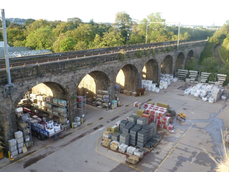
Entry Name: Slateford Viaduct, Edinburgh
Listing Name: Slateford Railway Viaduct over Inglis Green Road, Gray's Mill Lade, and Water of Leith
Listing Date: 12 December 1974
Category: B
Source: Historic Scotland
Source ID: 370781
Historic Scotland Designation Reference: LB30038
Building Class: Cultural
ID on this website: 200370781
Location: Edinburgh
County: Edinburgh
Town: Edinburgh
Electoral Ward: Sighthill/Gorgie
Traditional County: Midlothian
Tagged with: Viaduct Railway viaduct
John Miller 1840-42.
14 segmental arches, battered piers, parapet: bullfaced rubble, some repairs in brick.
External links are from the relevant listing authority and, where applicable, Wikidata. Wikidata IDs may be related buildings as well as this specific building. If you want to add or update a link, you will need to do so by editing the Wikidata entry.


Other nearby listed buildings
