Approximate Location Map
Large Map »
Latitude: 56.1909 / 56°11'27"N
Longitude: -2.8275 / 2°49'38"W
OS Eastings: 348743
OS Northings: 700111
OS Grid: NO487001
Mapcode National: GBR 2Q.FSVR
Mapcode Global: WH7SR.JNSD
Plus Code: 9C8V55RF+82
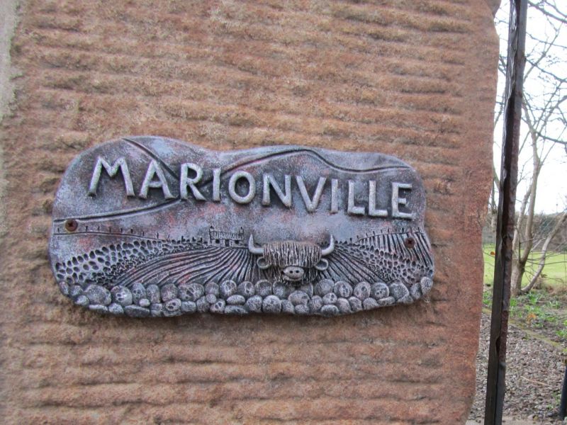
Entry Name: Marionville, Links Place, Elie
Listing Name: Elie Marionville Links Place
Listing Date: 18 August 1972
Category: B
Source: Historic Scotland
Source ID: 372157
Historic Scotland Designation Reference: LB30980
Building Class: Cultural
ID on this website: 200372157
Location: Elie and Earlsferry
County: Fife
Town: Elie And Earlsferry
Electoral Ward: East Neuk and Landward
Traditional County: Fife
Tagged with: Architectural structure
Early 19th century. 2-storey 3-window coursed rubble with painted quoins, margins and dressings; anta doorpiece with fanlight; piended slated roof; platformed with 3 neat dormers; harled gables and rear elevation; gatepiers have wrought-iron lampholder. Alterations and rear additions 1965.
External links are from the relevant listing authority and, where applicable, Wikidata. Wikidata IDs may be related buildings as well as this specific building. If you want to add or update a link, you will need to do so by editing the Wikidata entry.


Other nearby listed buildings
