Approximate Location Map
Large Map »
Latitude: 56.222 / 56°13'19"N
Longitude: -2.6961 / 2°41'45"W
OS Eastings: 356934
OS Northings: 703493
OS Grid: NO569034
Mapcode National: GBR 2W.CS8V
Mapcode Global: WH7SM.KVCZ
Plus Code: 9C8V68C3+RH
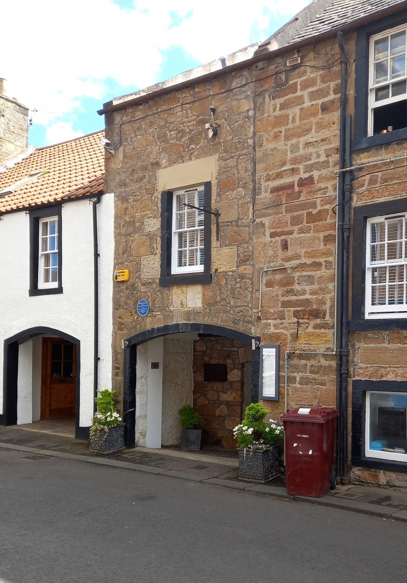
Entry Name: 26 East Green, Anstruther Easter
Listing Name: 26 East Green Warehouse, Anstruther Easter
Listing Date: 9 May 1972
Category: B
Source: Historic Scotland
Source ID: 380908
Historic Scotland Designation Reference: LB36182
Building Class: Cultural
ID on this website: 200380908
Location: Kilrenny
County: Fife
Town: Kilrenny
Electoral Ward: East Neuk and Landward
Traditional County: Fife
Tagged with: Architectural structure
Dated RT 1841 at keyblock of segmental pend arch. 2-storey blind window at upper floor, rubble and pantile. Former coopery building, sculptured coopery signs.
External links are from the relevant listing authority and, where applicable, Wikidata. Wikidata IDs may be related buildings as well as this specific building. If you want to add or update a link, you will need to do so by editing the Wikidata entry.


Other nearby listed buildings
