Approximate Location Map
Large Map »
Latitude: 55.984 / 55°59'2"N
Longitude: -4.0388 / 4°2'19"W
OS Eastings: 272894
OS Northings: 678658
OS Grid: NS728786
Mapcode National: GBR 17.VYDW
Mapcode Global: WH4PQ.XVXG
Plus Code: 9C7QXXM6+JF
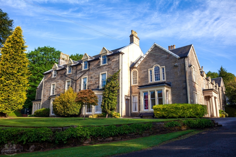
Entry Name: Colzium House, Kilsyth
Listing Name: Colzium
Listing Date: 22 May 1979
Category: B
Source: Historic Scotland
Source ID: 380964
Historic Scotland Designation Reference: LB36230
Building Class: Cultural
Also known as: Kilsyth, Colzium House
ID on this website: 200380964
Location: Kilsyth
County: North Lanarkshire
Town: Kilsyth
Electoral Ward: Kilsyth
Traditional County: Stirlingshire
Tagged with: House
Early 19th century, traditional country mansion built close
to the site of Colzium Castle, by the Edmonstones of
Duntreath into whose hands the estate passed at the end of
the 18th century. Now a museum. Community centre.
External links are from the relevant listing authority and, where applicable, Wikidata. Wikidata IDs may be related buildings as well as this specific building. If you want to add or update a link, you will need to do so by editing the Wikidata entry.


Other nearby listed buildings
