Approximate Location Map
Large Map »
Latitude: 56.672 / 56°40'19"N
Longitude: -3.0046 / 3°0'16"W
OS Eastings: 338532
OS Northings: 753810
OS Grid: NO385538
Mapcode National: GBR VJ.MN0R
Mapcode Global: WH7QB.TKDJ
Plus Code: 9C8RMXCW+R4
Entry Name: 15, 17 Bellies Brae, Kirriemuir
Listing Name: 15, 17 Bellie's Brae
Listing Date: 15 January 1980
Category: C
Source: Historic Scotland
Source ID: 381725
Historic Scotland Designation Reference: LB36842
Building Class: Cultural
ID on this website: 200381725
Location: Kirriemuir
County: Angus
Town: Kirriemuir
Electoral Ward: Kirriemuir and Dean
Traditional County: Angus
Tagged with: House
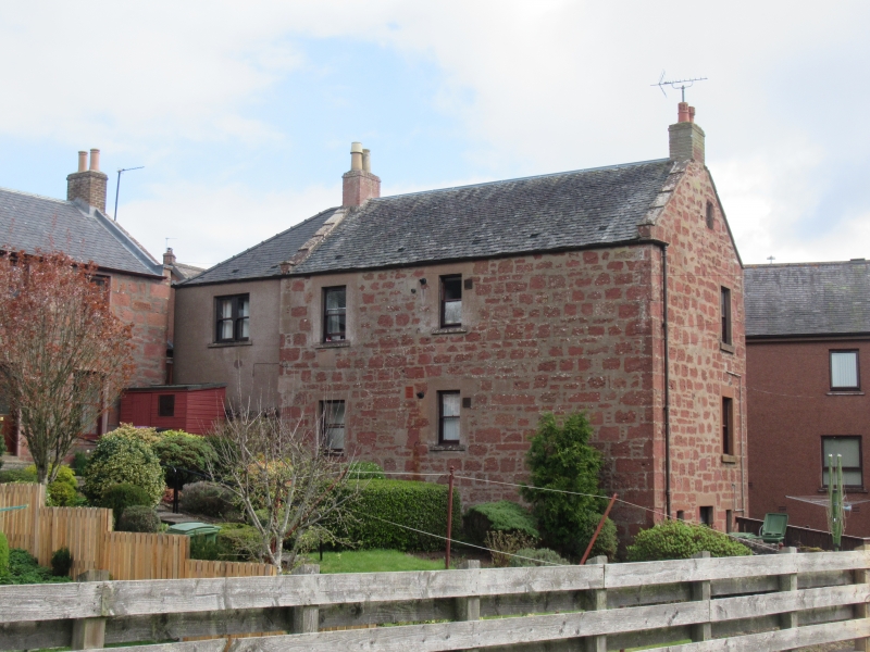
Early 19th century. 2-storey and attic with part basement,
coursed rubble and slate, forestair with porch to 1st floor; indifferently designed modern N. extension of same height.
C group
Subsidiary group of value in the general view of Kirriemuir
from Pathhead.
External links are from the relevant listing authority and, where applicable, Wikidata. Wikidata IDs may be related buildings as well as this specific building. If you want to add or update a link, you will need to do so by editing the Wikidata entry.


Other nearby listed buildings
