Approximate Location Map
Large Map »
Latitude: 57.5828 / 57°34'58"N
Longitude: -3.8659 / 3°51'57"W
OS Eastings: 288530
OS Northings: 856283
OS Grid: NH885562
Mapcode National: GBR J8TP.9VK
Mapcode Global: WH4G2.LN9T
Plus Code: 9C9RH4MM+4J
Entry Name: Parish Church, Church Road, Nairn
Listing Name: Church Road, Former Parish Church
Listing Date: 12 March 1981
Category: C
Source: Historic Scotland
Source ID: 383767
Historic Scotland Designation Reference: LB38411
Building Class: Cultural
ID on this website: 200383767
Location: Nairn
County: Highland
Town: Nairn
Electoral Ward: Nairn and Cawdor
Traditional County: Nairnshire
Tagged with: Church building
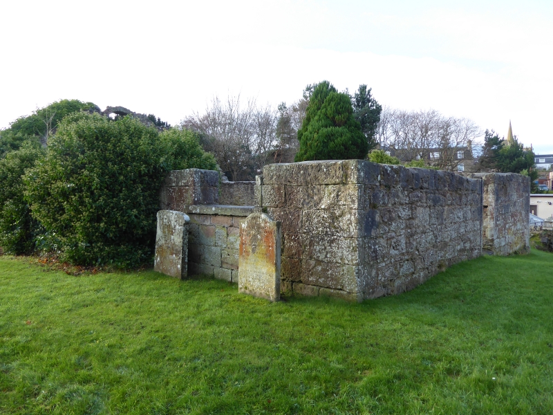
Circa 1810. Repairs, A & W Reid and Mackenzie, 1860. South wall
only remains, with entrance and lunette above. Walled graveyard surrounds ruins; a few 17th and 18th gravestones, the remainder
dating from 19th century.
External links are from the relevant listing authority and, where applicable, Wikidata. Wikidata IDs may be related buildings as well as this specific building. If you want to add or update a link, you will need to do so by editing the Wikidata entry.


Other nearby listed buildings
