Approximate Location Map
Large Map »
Latitude: 57.5043 / 57°30'15"N
Longitude: -1.7907 / 1°47'26"W
OS Eastings: 412638
OS Northings: 846033
OS Grid: NK126460
Mapcode National: GBR P8YW.L81
Mapcode Global: WHBQ8.GMHZ
Plus Code: 9C9WG635+PP
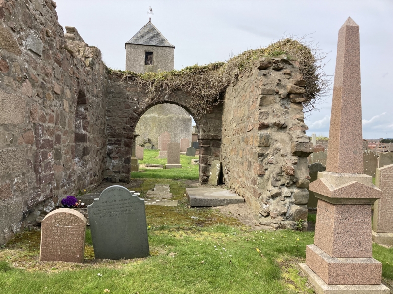
Entry Name: Churchyard, Old St Peter's Church, South Road, Peterhead
Listing Name: Old St. Peter's Graveyard.
Listing Date: 16 April 1971
Category: B
Source: Historic Scotland
Source ID: 385434
Historic Scotland Designation Reference: LB39669
Building Class: Cultural
ID on this website: 200385434
Location: Peterhead
County: Aberdeenshire
Town: Peterhead
Electoral Ward: Peterhead North and Rattray
Traditional County: Aberdeenshire
Tagged with: Churchyard
Dykes built 1816; graveyard extended in that year. Important
collection of monuments mainly 17th 18th and early 19th
centuries; Southern extension is recent.
External links are from the relevant listing authority and, where applicable, Wikidata. Wikidata IDs may be related buildings as well as this specific building. If you want to add or update a link, you will need to do so by editing the Wikidata entry.


Other nearby listed buildings
