Approximate Location Map
Large Map »
Latitude: 56.3386 / 56°20'18"N
Longitude: -2.7989 / 2°47'56"W
OS Eastings: 350707
OS Northings: 716530
OS Grid: NO507165
Mapcode National: GBR 2R.4M4L
Mapcode Global: WH7RZ.ZYC5
Plus Code: 9C8V86Q2+CC
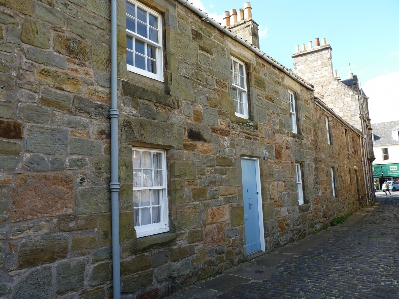
Entry Name: 3 Rose Lane, St Andrews
Listing Name: South Street 2-5 and 7 Rose Lane
Listing Date: 23 February 1971
Category: C
Source: Historic Scotland
Source ID: 386675
Historic Scotland Designation Reference: LB40708
Building Class: Cultural
ID on this website: 200386675
Location: St Andrews
County: Fife
Town: St Andrews
Electoral Ward: St Andrews
Traditional County: Fife
Tagged with: Terrace house
18th century/early 19th cent. 2-storey rubble and pantile; treatment varied slightly. No 7 detached from group.
External links are from the relevant listing authority and, where applicable, Wikidata. Wikidata IDs may be related buildings as well as this specific building. If you want to add or update a link, you will need to do so by editing the Wikidata entry.


Other nearby listed buildings
