Approximate Location Map
Large Map »
Latitude: 56.3387 / 56°20'19"N
Longitude: -2.7993 / 2°47'57"W
OS Eastings: 350686
OS Northings: 716546
OS Grid: NO506165
Mapcode National: GBR 2R.4M17
Mapcode Global: WH7RZ.ZY61
Plus Code: 9C8V86Q2+F7
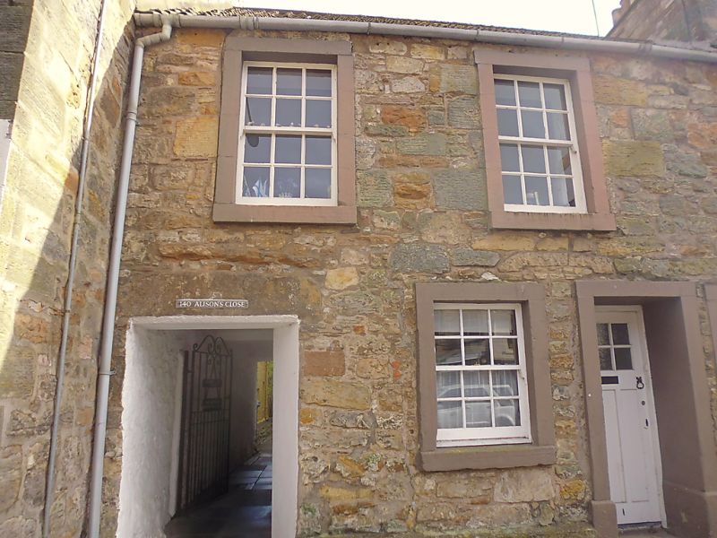
Entry Name: 2 Alison's Close, St Andrews
Listing Name: Alison's Close at 140 South Street.
Listing Date: 23 February 1971
Category: C
Source: Historic Scotland
Source ID: 386682
Historic Scotland Designation Reference: LB40712
Building Class: Cultural
ID on this website: 200386682
Location: St Andrews
County: Fife
Town: St Andrews
Electoral Ward: St Andrews
Traditional County: Fife
Tagged with: Architectural structure
C.1800. 2-storey, rubble-built and pantiled.
Re-categorised as C(S) from B for Group (2006). The listing relates specifically to the group interest of the subject. It applies, as always, to interior as well as exterior, as appropriate to building type.
External links are from the relevant listing authority and, where applicable, Wikidata. Wikidata IDs may be related buildings as well as this specific building. If you want to add or update a link, you will need to do so by editing the Wikidata entry.


Other nearby listed buildings
