Approximate Location Map
Large Map »
Latitude: 56.3411 / 56°20'28"N
Longitude: -2.7927 / 2°47'33"W
OS Eastings: 351096
OS Northings: 716814
OS Grid: NO510168
Mapcode National: GBR 2R.4GJT
Mapcode Global: WH7S0.2WF5
Plus Code: 9C8V86R4+FW
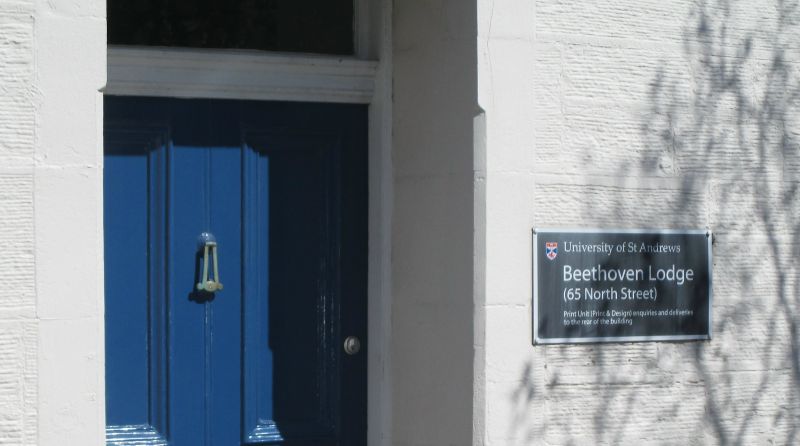
Entry Name: 65 North Street, St Andrews
Listing Name: 65 North Street.
Listing Date: 8 June 1978
Category: C
Source: Historic Scotland
Source ID: 386749
Historic Scotland Designation Reference: LB40769
Building Class: Cultural
ID on this website: 200386749
Location: St Andrews
County: Fife
Town: St Andrews
Electoral Ward: St Andrews
Traditional County: Fife
Tagged with: Architectural structure
C.1800. 2-storey, 3-window, droved ashlar with slated roof
and two original dormers.
External links are from the relevant listing authority and, where applicable, Wikidata. Wikidata IDs may be related buildings as well as this specific building. If you want to add or update a link, you will need to do so by editing the Wikidata entry.


Other nearby listed buildings
