Approximate Location Map
Large Map »
Latitude: 56.3428 / 56°20'33"N
Longitude: -2.8062 / 2°48'22"W
OS Eastings: 350261
OS Northings: 717003
OS Grid: NO502170
Mapcode National: GBR 2Q.4CJ7
Mapcode Global: WH7RZ.VTWY
Plus Code: 9C8V85VV+4G
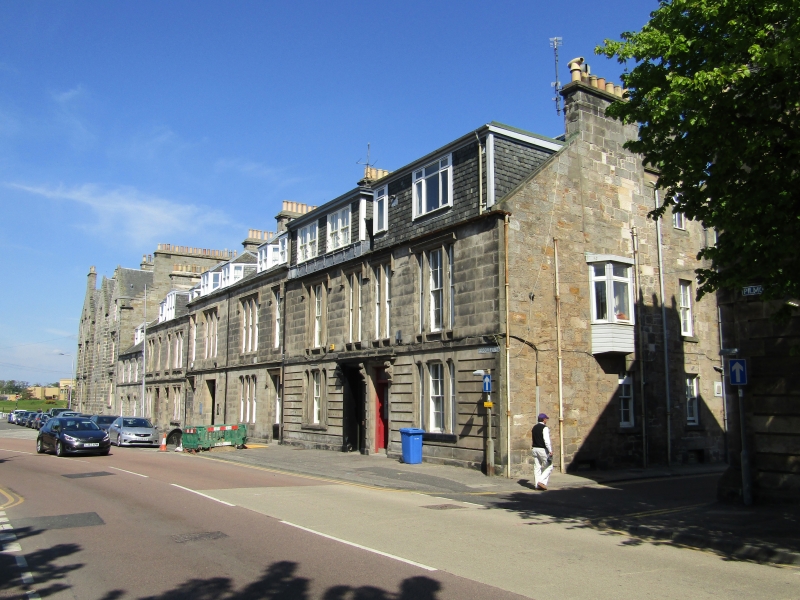
Entry Name: 10 Gibson Place, St Andrews
Listing Name: 1-10 Gibson Place.
Listing Date: 8 June 1978
Category: C
Source: Historic Scotland
Source ID: 386824
Historic Scotland Designation Reference: LB40809
Building Class: Cultural
ID on this website: 200386824
Location: St Andrews
County: Fife
Town: St Andrews
Electoral Ward: St Andrews
Traditional County: Fife
Tagged with: Architectural structure
West block (8-11), 1868-9, George Rae, architect; tall
2-storey basement and attic, asymmetrical, ashlar with
crowstepped gables and bay windows, Renaissance detail; some
unfortunate minor alterations. Nos. 1-7, 2-storey and attic
row, probably also by Rae, Nos. 1 and 2 dated 1859; detail
varies, some Renaissance, some Tudor; heavy modern attic 1
and 2, doorpiece altered at 4.
External links are from the relevant listing authority and, where applicable, Wikidata. Wikidata IDs may be related buildings as well as this specific building. If you want to add or update a link, you will need to do so by editing the Wikidata entry.


Other nearby listed buildings
