Approximate Location Map
Large Map »
Latitude: 56.3409 / 56°20'27"N
Longitude: -2.7949 / 2°47'41"W
OS Eastings: 350960
OS Northings: 716790
OS Grid: NO509167
Mapcode National: GBR 2R.4G1J
Mapcode Global: WH7S0.1WDC
Plus Code: 9C8V86R4+93
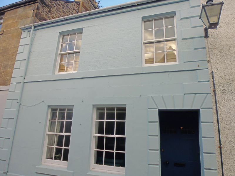
Entry Name: 15 College Street, St Andrews
Listing Name: 15 College Street.
Listing Date: 23 February 1971
Category: B
Source: Historic Scotland
Source ID: 386909
Historic Scotland Designation Reference: LB40869
Building Class: Cultural
ID on this website: 200386909
Location: St Andrews
County: Fife
Town: St Andrews
Electoral Ward: St Andrews
Traditional County: Fife
Tagged with: House
Early 19th cent. 2-storey, 2-window painted ashlar (droved at
1st), raised quoins; channelled surround to flat-arched
doorpiece, slated.
External links are from the relevant listing authority and, where applicable, Wikidata. Wikidata IDs may be related buildings as well as this specific building. If you want to add or update a link, you will need to do so by editing the Wikidata entry.


Other nearby listed buildings
