Approximate Location Map
Large Map »
Latitude: 56.3415 / 56°20'29"N
Longitude: -2.7986 / 2°47'55"W
OS Eastings: 350727
OS Northings: 716858
OS Grid: NO507168
Mapcode National: GBR 2R.4F5Q
Mapcode Global: WH7RZ.ZVGX
Plus Code: 9C8V86R2+JG
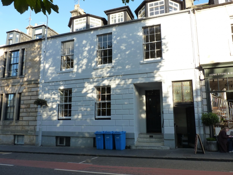
Entry Name: 16 Greyfriars Gardens, St Andrews
Listing Name: 12-16 Greyfriars Garden and 150 North Street.
Listing Date: 23 February 1971
Category: B
Source: Historic Scotland
Source ID: 386953
Historic Scotland Designation Reference: LB40897
Building Class: Cultural
ID on this website: 200386953
Location: St Andrews
County: Fife
Town: St Andrews
Electoral Ward: St Andrews
Traditional County: Fife
Tagged with: Architectural structure
Begun 1836. 2-storey and attic, 14-window (1 blind and 1
tripartite), droved ashlar, rusticated ground floor, slated;
Roman doric column doorpiece with triglyph frieze to North
Street (1844 for Captain Campbell).
External links are from the relevant listing authority and, where applicable, Wikidata. Wikidata IDs may be related buildings as well as this specific building. If you want to add or update a link, you will need to do so by editing the Wikidata entry.


Other nearby listed buildings
