Approximate Location Map
Large Map »
Latitude: 56.1221 / 56°7'19"N
Longitude: -3.9427 / 3°56'33"W
OS Eastings: 279326
OS Northings: 693851
OS Grid: NS793938
Mapcode National: GBR 1C.L872
Mapcode Global: WH4P6.DDS2
Plus Code: 9C8R43C4+RW
Entry Name: Cowane's House, St Mary's Wynd, Stirling
Listing Name: St Mary's Wynd John Cowane's House
Listing Date: 3 February 1978
Category: A
Source: Historic Scotland
Source ID: 387734
Historic Scotland Designation Reference: LB41466
Building Class: Cultural
ID on this website: 200387734
Location: Stirling
County: Stirling
Town: Stirling
Electoral Ward: Stirling North
Traditional County: Stirlingshire
Tagged with: House
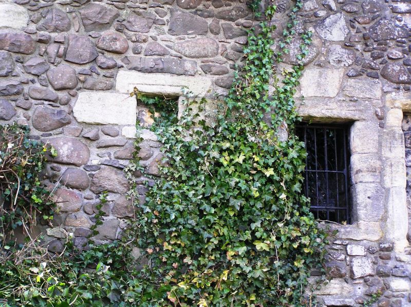
17th century ruin. Originally 3-storey and attic, u-plan
rubble built with square staircase tower to street and
remains of corbelled corner turret. Main building periods, SE
part oldest possibly begun 1603, additions 1633 and 1697.
Dormer heads dated 1633 and 1697 preserved in garden of
Knockhill House in King's Stables Lane.
External links are from the relevant listing authority and, where applicable, Wikidata. Wikidata IDs may be related buildings as well as this specific building. If you want to add or update a link, you will need to do so by editing the Wikidata entry.


Other nearby listed buildings
