Approximate Location Map
Large Map »
Latitude: 56.0016 / 56°0'5"N
Longitude: -4.581 / 4°34'51"W
OS Eastings: 239146
OS Northings: 681745
OS Grid: NS391817
Mapcode National: GBR 0L.TW9P
Mapcode Global: WH3NB.LDRY
Plus Code: 9C8Q2C29+JH
Entry Name: Lomond Bridge, River Leven, Lomond Road, Balloch
Listing Name: Balloch, Lomond Road, Bridge
Listing Date: 29 March 1996
Category: B
Source: Historic Scotland
Source ID: 389626
Historic Scotland Designation Reference: LB43218
Building Class: Cultural
Also known as: Balloch, Lomond Road, River Leven, Lomond Bridge
ID on this website: 200389626
Location: Bonhill
County: West Dunbartonshire
Electoral Ward: Lomond
Parish: Bonhill
Traditional County: Dunbartonshire
Tagged with: Road bridge
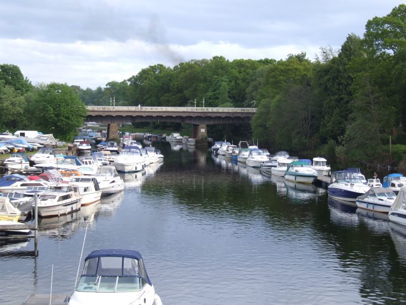
1934. Steel bridge, 3 segmental arches carrying road over river and railway. Bull-faced battered cutwaters; shallow segmental arches; wrought-iron railings; slender cast-iron lamb standards.
External links are from the relevant listing authority and, where applicable, Wikidata. Wikidata IDs may be related buildings as well as this specific building. If you want to add or update a link, you will need to do so by editing the Wikidata entry.


Other nearby listed buildings
