Approximate Location Map
Large Map »
Latitude: 55.9862 / 55°59'10"N
Longitude: -3.2238 / 3°13'25"W
OS Eastings: 323747
OS Northings: 677701
OS Grid: NT237777
Mapcode National: GBR 8G1.HL
Mapcode Global: WH6SD.GS3S
Plus Code: 9C7RXQPG+FF
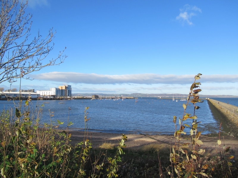
Entry Name: Granton Harbour, Edinburgh
Listing Name: Granton Harbour, Sea Wall and Embankment to East of Mid Pier
Listing Date: 16 September 1998
Category: C
Source: Historic Scotland
Source ID: 392612
Historic Scotland Designation Reference: LB45651
Building Class: Cultural
ID on this website: 200392612
Mainly circa 1860 (although facing of embankment is probably slightly later) with some visible remnants of circa 1840. Sloping sea embankment (wider at base) faced with coursed sandstone blocks to seaward side; profile here curves upwards to become almost vertical wall; blocks towards top are stugged; droved ashlar coping with rounded edges above. More gently sloping sides to S (flat in parts) comprised of turfed earth and enclosed by low sandstone wall of coping blocks to roadside; mainly tooled and rounded but some droved ashlar blocks with rounded edges to W. Embankment/wall adjoins mid pier to E of easternmost slipway at SE angle and curves round along shoreline terminating just to E of Wardie Square where it adjoins separate section of wall.
Gap in embankment forms entranceway to eastern breakwater; coped droved ashlar sides of entrance rising from short flat S piers to taller flat coped N piers (probably only visible remnants of circa 1840 wall). Stone setts to ground in between. Minor entranceway to E: rounded edges to wall on either side; stone blocks form uneven 'steps' to foreshore.
Constructed for Duke of Buccleuch as part of developments at Granton Harbour. Railway from Edinburgh constructed along S side of wall in mid-1840's. The south side of the embankment was altered and landscaped in late 20th century (following the removal of the railway tracks). Originally it was far steeper and flat-topped to accommodate the railway..
External links are from the relevant listing authority and, where applicable, Wikidata. Wikidata IDs may be related buildings as well as this specific building. If you want to add or update a link, you will need to do so by editing the Wikidata entry.


Other nearby listed buildings
