Approximate Location Map
Large Map »
Latitude: 55.9492 / 55°56'57"N
Longitude: -3.2096 / 3°12'34"W
OS Eastings: 324558
OS Northings: 673568
OS Grid: NT245735
Mapcode National: GBR 8KG.CV
Mapcode Global: WH6SL.NQTM
Plus Code: 9C7RWQXR+M5
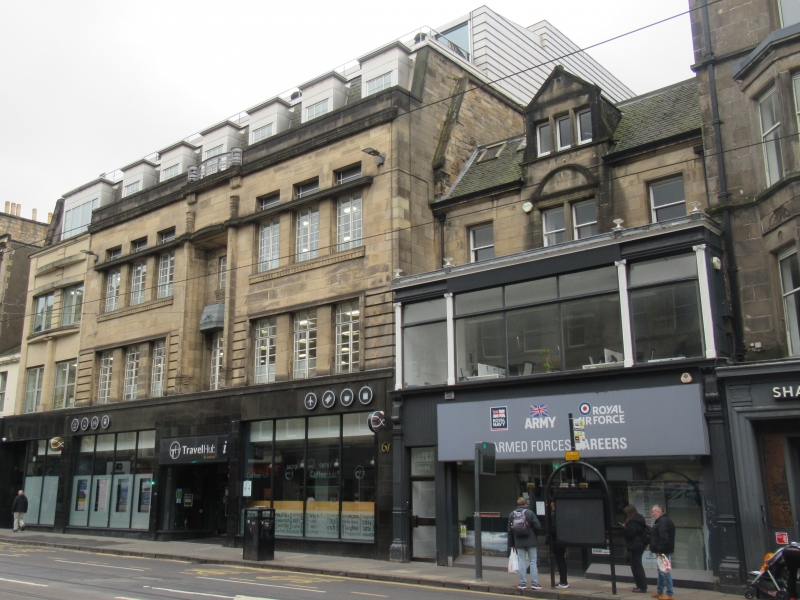
Entry Name: 63-65 Shandwick Place, Edinburgh
Listing Name: 63-65 (Odd Nos) Shandwick Place
Listing Date: 23 March 2001
Category: C
Source: Historic Scotland
Source ID: 395071
Historic Scotland Designation Reference: LB47730
Building Class: Cultural
ID on this website: 200395071
Location: Edinburgh
County: Edinburgh
Town: Edinburgh
Electoral Ward: City Centre
Traditional County: Midlothian
Tagged with: Architectural structure
Early 19th century, 3-storey, 3-bay, symmetrical, original house with later additions, incorporating glazed outshot of 1913 at 1st floor and modern shopfront at ground floor. Carved wooden pilasters with scrolled capitals to ground floor; Ionic pilasters, cornice and blocking course to 1st floor, surmounted by urns; cornice to 2nd floor.
NW (PRINCIPAL) ELEVATION: modern glazed shopfront at ground floor, with glazed door offset to left; glazed, flat-roofed 1st floor; bipartite window to centre of 2nd floor, with semicircular moulded pediment; single windows to flanking bays; triangular pedimented centred dormer breaking eaves, with cill course to tripartite window.
SW AND NE ELEVATIONS: obscured by adjacent buildings.
SE ELEVATION: not seen 2000.
Modern plate glass glazing at ground and 1st floors; timber sash and case windows to 2nd floor; modern skylights to roof. Grey slate roof. Cast-iron rainwater goods; coped mutual wall to 2nd floor at left.
Part of the Edinburgh New Town A-Group, a significant surviving part of one of the most important and best preserved examples of urban planning in Britain. Altered original house, dating from Mrs Jane Cunningham's early 19th century development of what was then called Maitland Street (renamed in the late 1890s). The original glazing does not survive and the insertion of a pedimented tripartite dormer has significantly changed the original appearance. The lower stories also detract from the simplicity of the original work above; nonetheless, this building is one of the few surviving remnants of the initial scheme. The line of development westwards, which began with Shandwick Place, was agreed to by the city in 1813 but had been planned as early as 1801. Its form continues the urban rectilinearity of Craig's New Town (Youngson, p215). This side of Shandwick Place appears on Robert Kirkwood's New Plan of 1817, although many of the buildings have since been remodelled or rebuilt. According to Grant Shandwick Place was "once a double line of front-door houses for people of good style, [now they] are almost entirely lines of shops or other new buildings".
External links are from the relevant listing authority and, where applicable, Wikidata. Wikidata IDs may be related buildings as well as this specific building. If you want to add or update a link, you will need to do so by editing the Wikidata entry.


Other nearby listed buildings
