Approximate Location Map
Large Map »
Latitude: 56.0601 / 56°3'36"N
Longitude: -3.6402 / 3°38'24"W
OS Eastings: 297964
OS Northings: 686461
OS Grid: NS979864
Mapcode National: GBR 1Q.QB5H
Mapcode Global: WH5QP.1YV4
Plus Code: 9C8R3965+2W
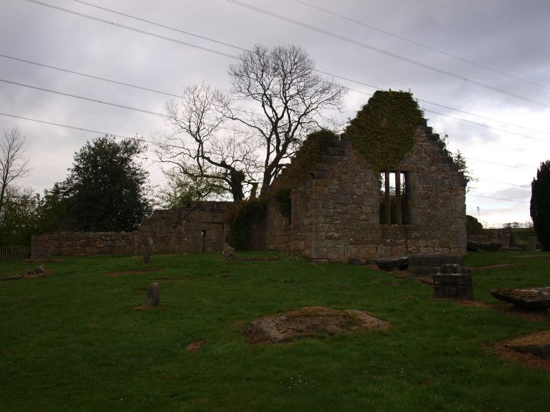
Entry Name: Culross, West Kirk, Churchyard
Listing Name: West Kirk Churchyard including Boundary Walls and excluding Scheduled Monument No 831 ‘Culross, West Church, Old Parish Church’, Culross
Listing Date: 12 January 1972
Last Amended: 7 August 2015
Category: A
Source: Historic Scotland
Source ID: 405209
Historic Scotland Designation Reference: LB23969
Building Class: Cultural
ID on this website: 200405209
Location: Culross
County: Fife
Town: Culross
Electoral Ward: West Fife and Coastal Villages
Traditional County: Fife
Tagged with: Churchyard
Stone rubble boundary wall with gatepiers to southeast.
Culross, West Church, Old Parish Church is Scheduled Monument No 831 and is excluded from the listing.
Listed building record and statutory address updated in 2015. Previously listed as 'West Kirk including Churchyard and Boundary Walls.'
External links are from the relevant listing authority and, where applicable, Wikidata. Wikidata IDs may be related buildings as well as this specific building. If you want to add or update a link, you will need to do so by editing the Wikidata entry.


Other nearby listed buildings
